Tag Archive for: conference

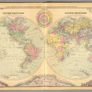
1894 Hand colored lithographed map

2021 CCA Conference – Call for Presentations

This year’s conference theme provides an opportunity to share how spatial-based knowledge combined with the latest technology is driving new methods of mapping our communities. We are now accepting abstracts for presentations and technical sessions in a variety of topics, including LiDAR technology, web mapping, flood mapping, forestry mapping, Indigenous mapping and other geospatial topics …
2019 CCA Conference Presentations

2019 CCA Conference Presentations

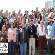
Last May at the University of Northern British Columbia close to 100 members of the CCA and Northern BC GIS users group came together for the 2019 CCA Conference. The organizing committee put together an excellent conference highlighting the work of cartographers and GIS professionals.

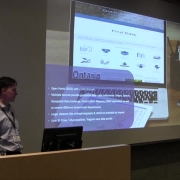
Attendees learned about different projects involving drone and LiDAR mapping, Indigenous Peoples, Canadian free geospatial data resources, creative mapping processes, intricate wood carved globes and much more. Overall there were 32 presentations, which have been made available to watch online with presentation abstracts here on the CCA website.

Conference Keynote Presentation - Chris Brackley, AsTheCrowFlies Cartography

2019 CCA Conference Keynote Presentation

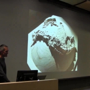
2019 CCA Conference Keynote Presentation Video – Watch Chris Brackley from AsTheCrowFlies Cartography talk about the Giant Floor Map that he created for the Royal Canadian Geographic Society’s Indigenous Peoples Atlas of Canada

Automation The Efficient Cartographers Trade Secret

Automation: The Efficient Cartographers Trade Secret

With respect to the contemporary need to clarify Métis Aboriginal Rights, this analysis will focus on historical cartographic sources as a means to demonstrate the state’s spatial knowledge of the Île-à-la Crosse region as one test of its effective control.

Coast to Coast Look at Canadian Geospatial Data

Coast to Coast Look at Canadian Geospatial Data

This presentation highlights organizations that are clear open data leaders, as well as some of the relatively new portals, and share some of the great data sets are available to the cartographic community …

Reinventing the Globe

Reinventing the Globe

I’m on a quest to carve beautiful, tactile, fully three-dimensional maps and globes out of wood. Based in the mountain town of Rossland, British Columbia, I’ve been looking for a way to reflect new social and cultural assumptions – more environmentally aware, more conscious that this planet is our home – by carving the world into wood using CNC router technology .

Remotely Piloted Aircraft Systems Technology and Photogrammetry

Remotely Piloted Aircraft Systems Technology and Photogrammetry

Remotely Piloted Aircraft Systems, photogrammetry software, orthophotographs, digital elevation models, map features of value. Even consumer-grade RPAS can be used in this manner but with some cost of accuracy …

Mapping in Motion The Augmented Reality Sandbox

Mapping in Motion: The Augmented Reality Sandbox

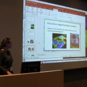
The Augmented Reality Sandbox is an interactive, three-dimensional, augmented reality exhibit that can be used as an educational tool to explore the importance of water, hydrology, earth science, and environmental studies.

Mt. Edziza Provincial Park Mapping

Mt. Edziza Provincial Park Mapping

In rural British Columbia, the conventional topographic mapping at 1:50,000 scale, from Natural Resources Canada, is now difficult to obtain and Provincial Park Mapping is no longer updated. Yet more recent mapping either does not exist, or involves large formats which are expensive to print. Morgan discusses a new approach, data sources, software, printing issues, some alternatives for the future, and the portability of this approach to other essentially trail-less crown lands in BC.

On the Map Colonial Adoption of Indigenous Toponomies

On the Map: Colonial Adoption of Indigenous Toponomies

The six Tŝilhqot’in community names were adopted into the official gazetteer of British Columbia and are now, quite literally, “on the map.”
This presentation explores the story of Adoption of Indigenous Toponomies …