2019 CCA Conference Keynote Presentation
2019 CCA Conference Keynote Presentation
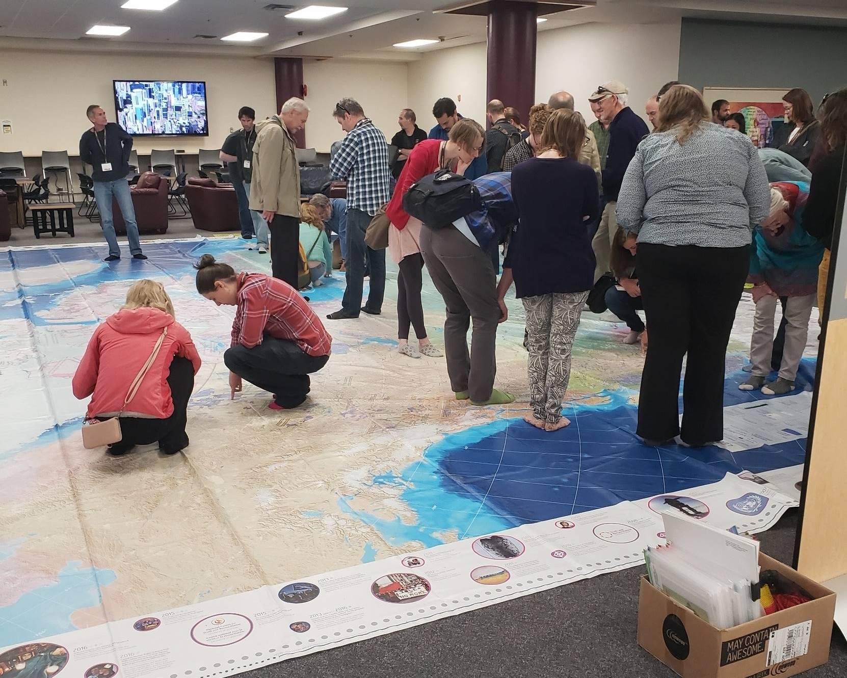
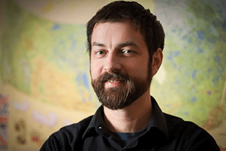
2019 Conference Keynote Presentation: Chris Brackley from AsTheCrowFlies Cartography talked about the Giant Floor Map that he created for the Royal Canadian Geographic Society (Introduction in video by Dr. Roger Wheate from University of Northern British Columbia)..
Indigenous Peoples Atlas of Canada: Mapping Nations Without Borders
At a time when the Canada’s stated relationship with Indigenous Peoples is described as “Nation to Nation”, two questions quickly arise.
What are the nations that is Canada building relationships with; and where exactly are these nations?
A good place to look for answers to these questions is in map drawers and spatial data warehouses. The language that defines national existence has long been cartography. Drawing border lines on a map creates a bounding box for a collective national identity, allowing a nation to say “inside these lines is where we live”. And of course, bounding a nation on a map asserts the nation’s possession of the land, saying “these lands are ours”.
But the Indigenous peoples of Canada do not have simple contiguous borders defining either their national existence, or their possession of land. They exist as a disconnected patchwork of communities, reserves, treaty areas and settlement lands.
So when Chris was charged with developing the cornerstone map for the Indigenous Peoples Atlas of Canada in collaboration with the project’s partners; The Assembly of First Nations, Inuit Tapiriit Kanatami, The Métis National Council, and the National Centre for Truth and Reconciliation, the challenges were many.
Chris’ keynote talk explored how he faced and overcame these challenges. Where the data came from, and how was it categorized, and grouped? With a credible suite of data collected, and what cartographic tools he used to meaningfully show Indigenous Nations within the Nation of Canada.
The talk concluded with a visit to the 8 x 11m Indigenous Peoples of Canada Giant Floor Map.

Chris has been making maps for the last twenty years. Inspired by a love of the nature, and the topographic maps that reveal the interconnection of the natural world, Chris started “improving” canoe tripping maps by manually adding historical sites, modern management areas, and whatever other information he could find in the 1990s. By the end of that decade, he had begun making maps of his own, drafting them manually with pen and ink. Eventually trained at Sir Sanford Fleming College as a digital cartographer, he started his freelance map-making company, As the Crow Flies cARTography in 2004.
Since then, As the Crow Flies has made maps with a wide range of focuses and intents. They have worked with environmental organizations, making maps to educate and inspire politicians and the general public to greater protect the natural world. They have made fanciful maps to accompany books and films. And for the last eight years, Chris and As the Crow Flies have been making all of the cartographic content for the Royal Canadian Geographical Society, and their national magazine Canadian Geographic. In this role Chris has created hundreds of maps for the magazine, and a dozen Giant Floor Maps (8 x 11m), with three more currently in development.


