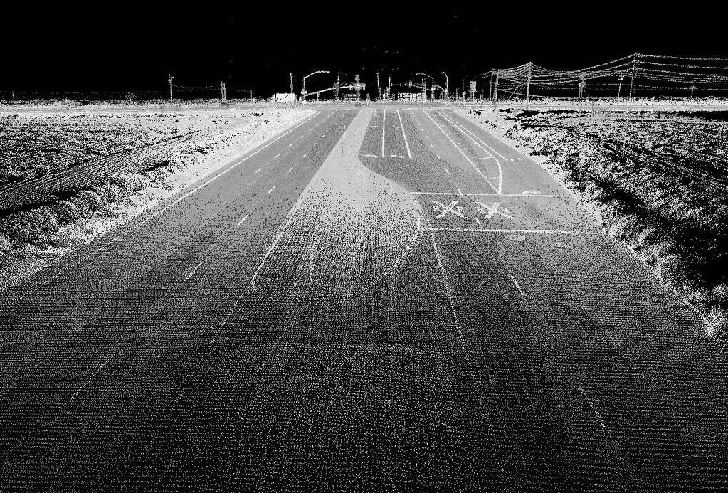
This video was one of the Keynote presentations from the Connecting the Dots for Multi-Dimensional Mapping Conference (2021 CCA Annual Conference) held May 25th, 26th, & 27th, 2021, where various members provided presentations on LiDAR technology, web mapping, flood mapping, forestry mapping, or Indigenous mapping, and other cartography, GIS, and remote sensing projects in Canada.
Anita Graser – Geospatial Data Analysis

Anita Graser is a researcher, open source GIS developer, and author.
She works at the Austrian Institute of Technology in Vienna, teaches Python for QGIS at UNIGIS Salzburg and serves on the QGIS project steering committee. She has published several books about QGIS, including “Learning QGIS” and “QGIS Map Design”. Her latest project is MovingPandas, a Python library for analyzing movement data.
You can find out more about her work on anitagraser.com and follow her on Twitter @underdarkGIS.
In the keynote presentation from the 2021 CCA Annual Conference below, you will see how Anita frames her discussion within the context of geographic data science, discussing geospatial data analysis with a focus on visualization, showing a variety of examples, especially from her recent work on mobility data.
She demonstrated open source technologies, many that integrate with QGIS (e.g., GeoPandas, Jupyter Notebooks, R), and emphasized the importance of interdisciplinary communication within teams to turn data into insight and understanding.

