Find out how cartographers are using FME to automate map creation.
Maps deliver critical information for the people who need them, but creating and maintaining them can involve a great deal of manual effort. In this presentation, you’ll see a round-up of the automations other cartographers are using to make their jobs easier and present beautiful, highquality maps for end users.
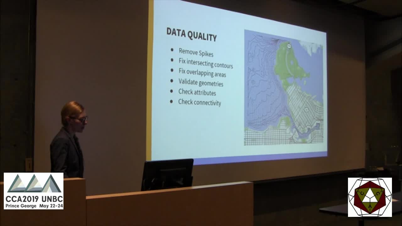
Topics will include integrating data from a wide range of sources including vector, raster, DTM, and tabular data from open source, open standards, and proprietary systems; quality checking the data before it becomes a map; tools to prepare the data, including coordinate system reprojection, generalizations and styling; and generating outputs to share for desktop and web cartography. Y
ou’ll also catch a glimpse of some of the latest tools in FME that cartographers are excited about. Attendees will walk away with an overview understanding of what kinds of tasks they can automate to increase the efficiency and quality of map making.


