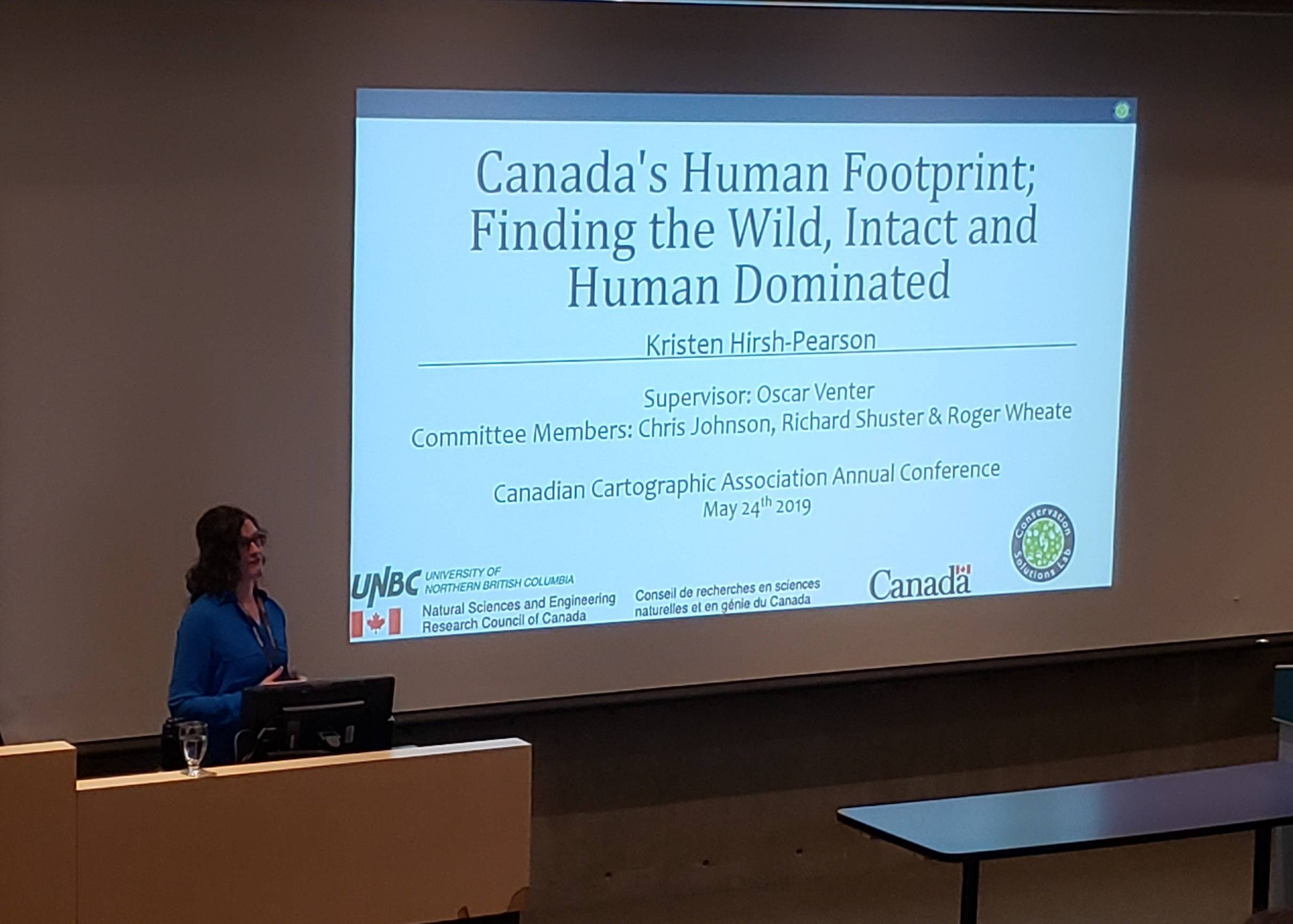
Canada is one of the signatories on the Convention on Biodiversity and its Aichi Biodiversity Targets. With these ambitious conservation targets, there is a need to better understand the distribution of threats to natural systems across the Canadian landscape.
 Global footprint maps have shown Canada as relatively ‘wild’ however, the threats mapped represent only a subset of threats relevant to Canada as the country still lacks a national scale cumulative threat study.
Mapping threats to biodiversity on a national scale will help determine what systems are most intact and which areas are heavily threatened. Here we use geospatial techniques to build on existing global studies by including additional threats relevant to Canada, using a higher spatial resolution of 300 meters we create baseline data with the first Canadian Terrestrial Human Footprint map.
Generally, we find that the southern part of Canada is experiencing higher levels of threat than northern ecosystems. However, our results reveal that Canada has less intact lands in the north than previously thought. Further results of this project will be important for the future of natural resource management and conservation planning in Canada .


