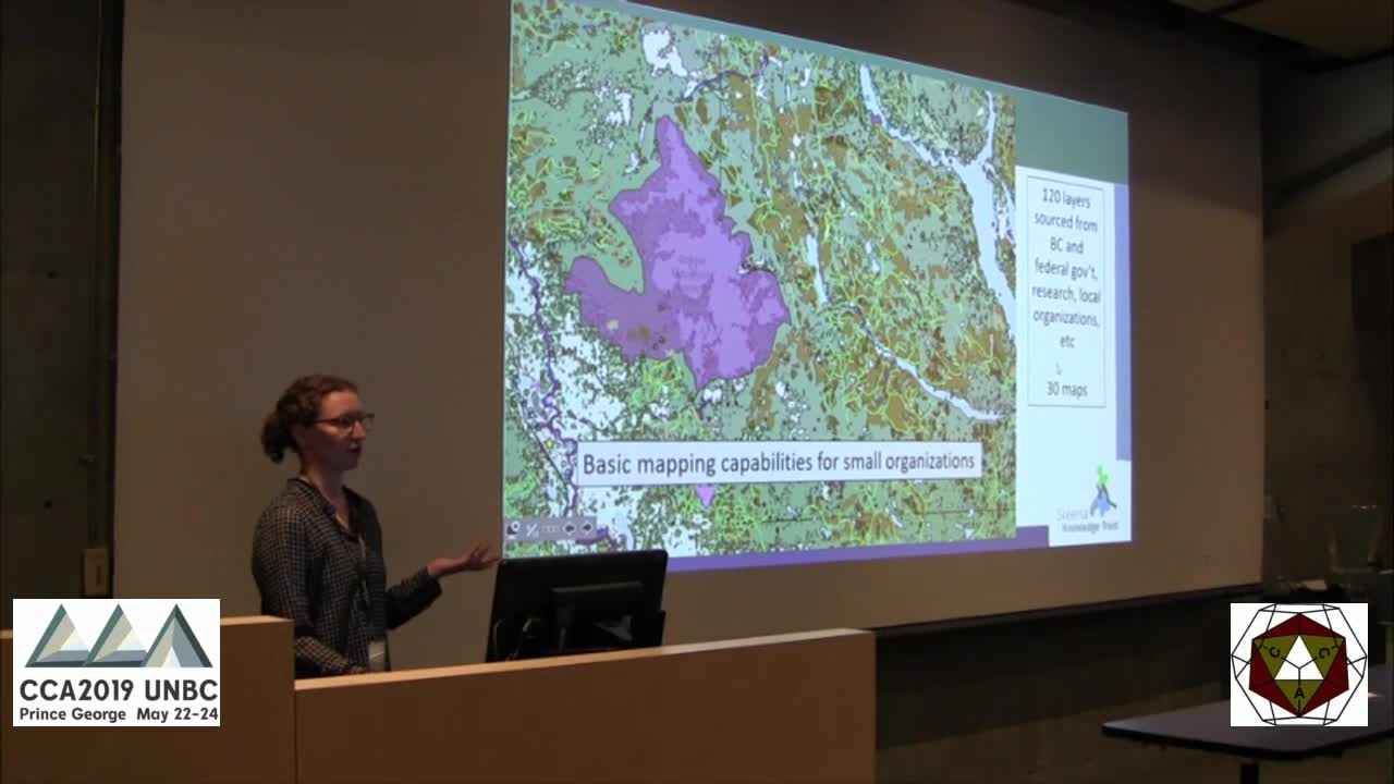
Many small conservation organizations collect spatial data but lack in-house GIS capacity, limiting their ability to use and manage this data.
The Skeena Maps Portal, developed by the Skeena Knowledge Trust, provides an online, publicly accessible platform for basic mapping, spatial data management, and collaboration for organizations operating within the Skeena Watershed. The Skeena Knowledge Trust’s purpose is to become a comprehensive source of information on wild Pacific salmonids in the Skeena watershed, including water quality, habitat, and population data.
The Skeena Maps Portal is one of the tools the Skeena Knowledge Trust develops and maintains to improve information management related to Skeena watershed wild salmon. Users of the Skeena Maps Portal can view and download spatial layers and view, create, save, and print maps. In addition, the Skeena Maps Portal can be used for long-term spatial data management, sharing, and archiving.
The Skeena Maps Portal allows users to upload and store spatial data, either publicly or privately. Private data storage allows users to manage sensitive data and securely share it with collaborators. The Skeena Maps Portal currently hosts over 100 spatial layers and more than 30 maps, with data sourced from the BC and federal governments, local organizations collecting environmental data, and historical reports


