2021 CCA Conference – Connecting the Dots for Multi-Dimensional Mapping
Formal Call for Presentations
This year’s conference theme provides an opportunity to share how spatial-based knowledge combined with the latest technology is driving new methods of mapping our communities. We are now accepting abstracts for presentations and technical sessions in a variety of topics, including LiDAR technology, web mapping, flood mapping, forestry mapping, Indigenous mapping and other geospatial topics.
We will be using Zoom media to stream the online event.
Presentations will be either live or pre-recorded with supporting visuals in electronic format, such as PowerPoint, Prezi, PDF or equivalent. Presenters and abstracts will be included in Conference Proceedings, with the possibility of being featured in an upcoming edition of Cartouche.
Student presentations will be eligible for CCA Best Student Paper / Presentation.
Deadline for Presentation Proposals is Friday, April 9th
Types of Presentations
Standard Presentation:
- 20 minute duration (up to 15 minutes for presentation, with 5 minutes reserved for brief questions)
Lightning Talk :
- 10 minute duration (up to 5 minutes for presentation, with 5 minutes reserved for brief questions)
Pecha Kucha Presentation :
- 20 slides (or images) that are displayed for 20 seconds each, and moves automatically as the presenter is speaking. This format ensures that the speaker is concise, keeps the presentation moving, and gets through all of their content.
Poster / Map (For online Gallery):
- Traditionally CCA Conferences include a Map Gallery where conference participants get together to socialize and network. The map gallery displays conference participant’s work and provides a great opportunity to showcase Canadian cartographic talent. This year we will run a digital map gallery where we will host various maps and posters online, as well as display and showcase them during the various presentations.
- Maps submitted for the CCA Presidents Prize, and the Carto-Québec Prize will also be displayed in the digital map gallery. Students are encouraged to submit their map entries via the CCA Presidents Prize, and Carto-Québec Prize contest pages instead of this form.
Workshop:
- Sessions that can engage CCA members and help teach or upgrade their skill sets
2021 CCA Conference Presentation Proposal Request Form
Please use the form above to submit your presentation proposal (click the Next button and follow instructions), receipt of abstracts will be acknowledged by email, and more formal instructions will follow after presentation acceptance.
[Note: Fields on the form marked with a * are required]
Click here to contact us if you have any questions related to the conference.
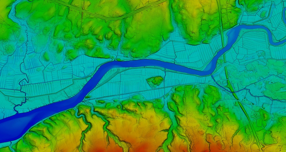
Header Image 1: ‘Color Shaded Relief Elevation Model created from LiDAR data’ [Source: Twitter (@NSGeoNOVA)]
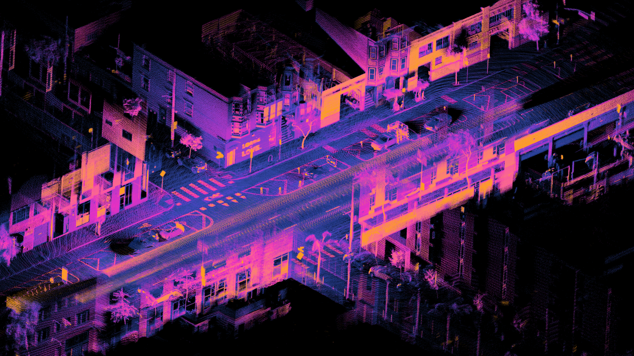
Header Image 2: ‘LiDAR point cloud of Dore St, San Francisco’ [Source: Wikimedia Commons]
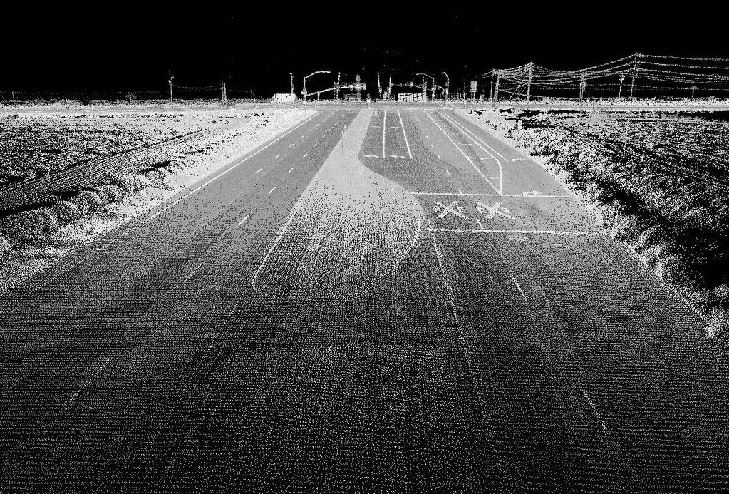
Header Image 3: ‘Highway image using LIDAR [Source: Flickr (Oregon State University)]
