2021 CCA Conference – Connecting the Dots for Multi-Dimensional Mapping
Conference Keynote Presenters
Dr. Tim Webster
His research focus is mapping and modeling processes in the coastal zone.
In 2017 he was presented with the Geomatics Association of Nova Scotia Award of Distinction, in 2010 the Gulf of Maine Council Visionary Award. He obtained his PhD from Dalhousie University in 2006, MSc from Acadia University in 1996, an Advanced Diploma in Remote Sensing in 1988, and a BSc in 1987.
His group has focused on research utilizing an airborne topo-bathymetric lidar sensors where they visualize 3-D data in virtual reality and mixed reality systems to aid in a better understanding of the data and environment.
You can find out more about his research work with the Applied Geomatics Research Group
Anita Graser
Anita Graser is a researcher, open source GIS developer, and author.
She works at the Austrian Institute of Technology in Vienna, teaches Python for QGIS at UNIGIS Salzburg and serves on the QGIS project steering committee. She has published several books about QGIS, including “Learning QGIS” and “QGIS Map Design”. Her latest project is MovingPandas, a Python library for analyzing movement data.
You can find out more about her work on anitagraser.com and follow her on Twitter @underdarkGIS.
Dr. Steve Liang
Steve Liang is a researcher, teacher and entrepreneur. Steve is the founder and CTO of SensorUp, offering a NATO-award winning Geospatial IoT cloud platform that interconnects the world’s IoT data empowering the connected workers of the future to apply intelligent automation for productivity, safety, quality, and job satisfaction.
Dr. Liang is a global influencer on the Internet of Things, and he is the working group chair of several international standard working groups of the Open Geospatial Consortium and UN’s ITU-T. Additionally, he is a professor and research chair at the University of Calgary, director of the GeoSensorWeb Laboratory, and a lab scientist of the Creative Destruction Lab.
Steve was recently named the Rogers IoT Research Chair, a five-year research chair position sponsored by Rogers Communications. A recipient of numerous awards, Dr. Liang has received Calgary’s Top 40 Under 40, Killam Emerging Research Leader Award, and more.
Conference Presenters and Agenda
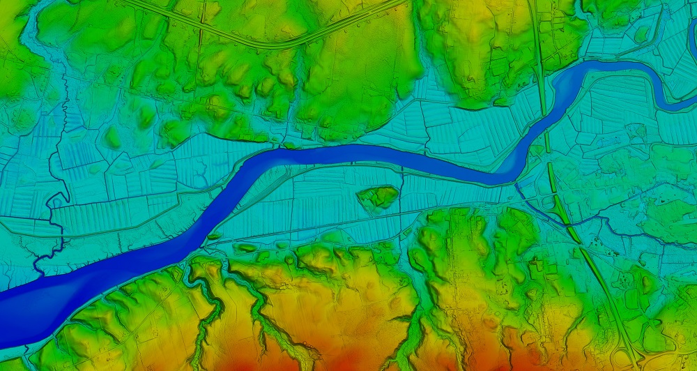
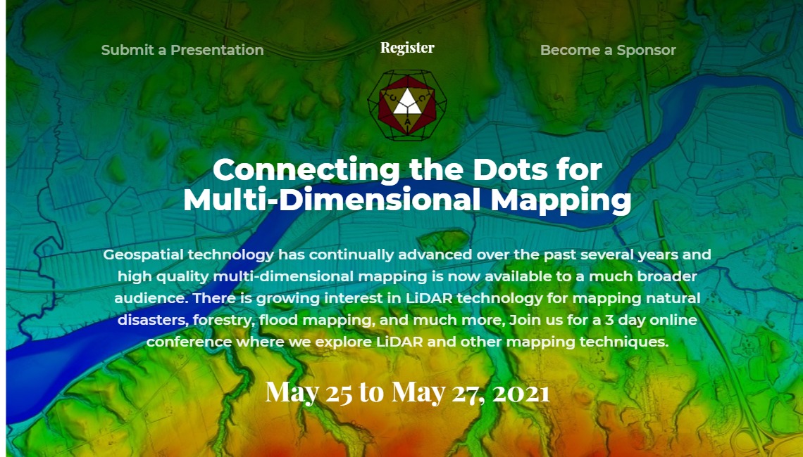
Header Image 1: ‘Color Shaded Relief Elevation Model created from LiDAR data’ [Source: Twitter (@NSGeoNOVA)]
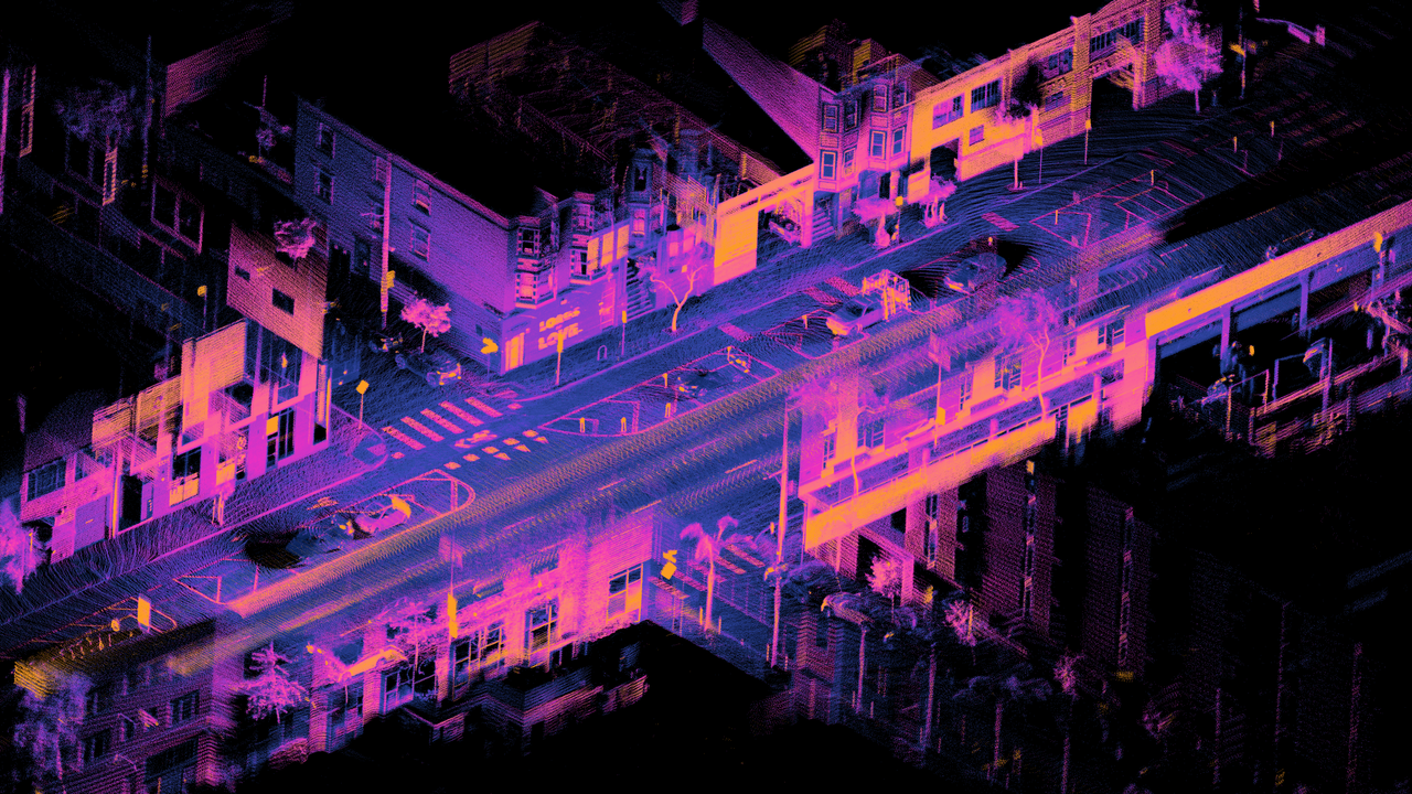
Header Image 2: ‘LiDAR point cloud of Dore St, San Francisco’ [Source: Wikimedia Commons]
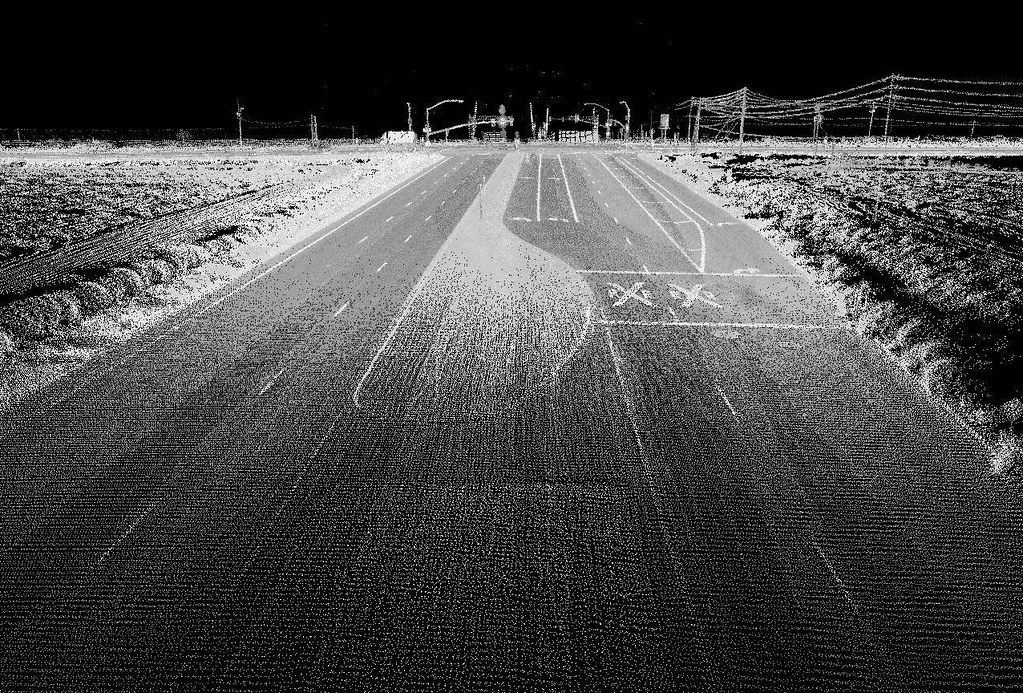
Header Image 3: ‘Highway image using LIDAR [Source: Flickr (Oregon State University)]
