2021 CCA Conference – Connecting the Dots for Multi-Dimensional Mapping
CCA Conference Registration
This year the annual CCA conference is being offered fully online and will be free to CCA members. Non-members are also encouraged to attend but will be charged a nominal fee to help cover expenses.
There is also an option for non-members to become members of the association when they register for the conference.
- CCA Members (No charge – you will be automatically registered and sent login info)
- Non Members ($20 for conference or $50 for conference & membership )
- Students who are not CCA members ($10 for conference or $20 for conference & membership )
Please use one of the embedded form below to register for this years conference. The form is run by pheedloop.com (the online conference venue) and payments will be securely processed through Stripe.com
Also make sure to watch for an email from pheedloop.com with instructions and access information to the conference portal.
If you have any questions, then do not hesitate to contact us, and we will do what we can to help you out.
Note: CCA members will be automatically registered to the event with no charge, and will receive a welcoming email with a link to the Conference Portal and a password to Conference Login. If you are a current CCA member and have not received this, then please let us know, and we will send you one.
CCA Conference Registration Form
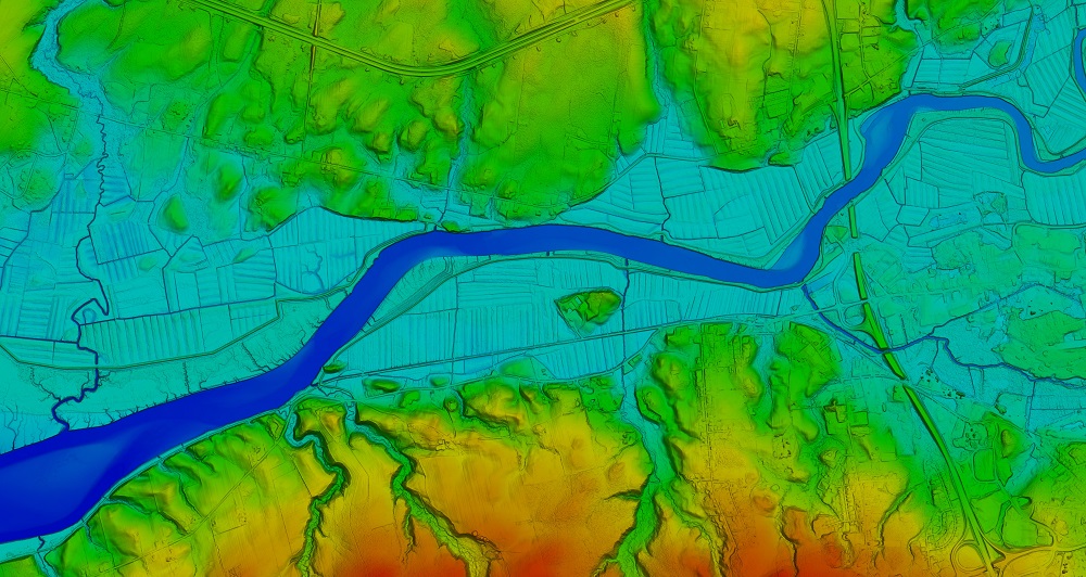
Header Image 1: ‘Color Shaded Relief Elevation Model created from LiDAR data’ [Source: Twitter (@NSGeoNOVA)]
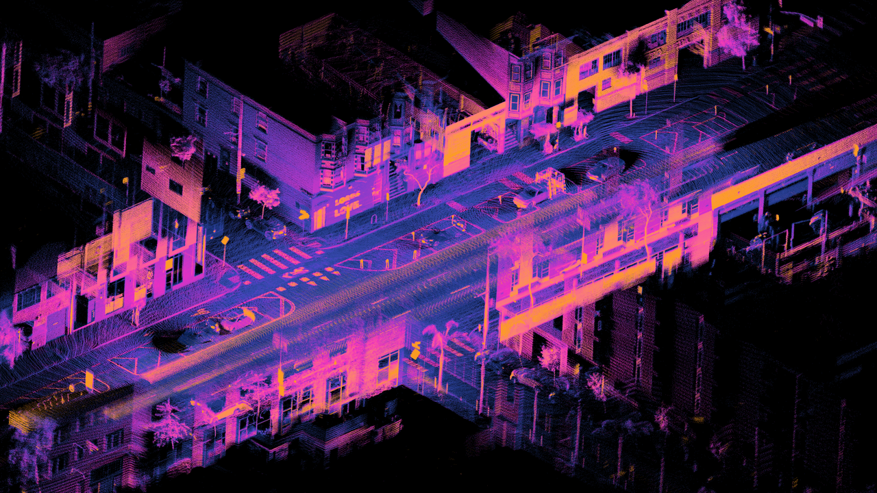
Header Image 2: ‘LiDAR point cloud of Dore St, San Francisco’ [Source: Wikimedia Commons]
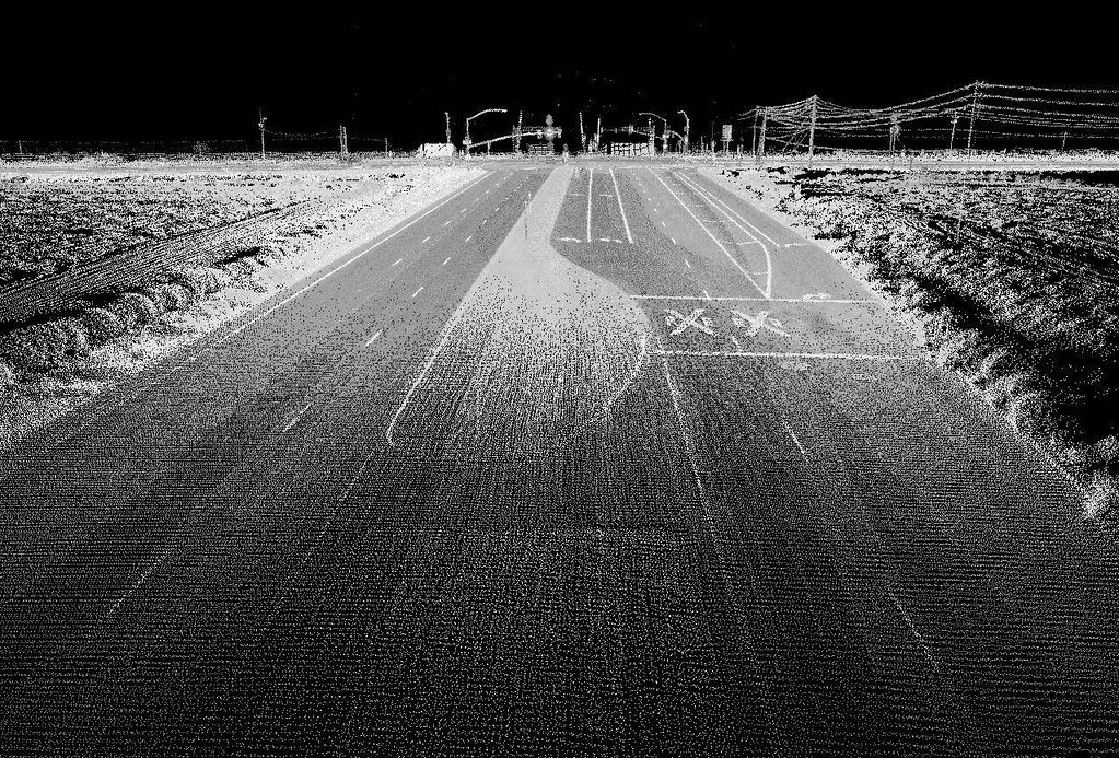
Header Image 3: ‘Highway image using LIDAR [Source: Flickr (Oregon State University)]
