2021 CCA Conference – Connecting the Dots for Multi-Dimensional Mapping
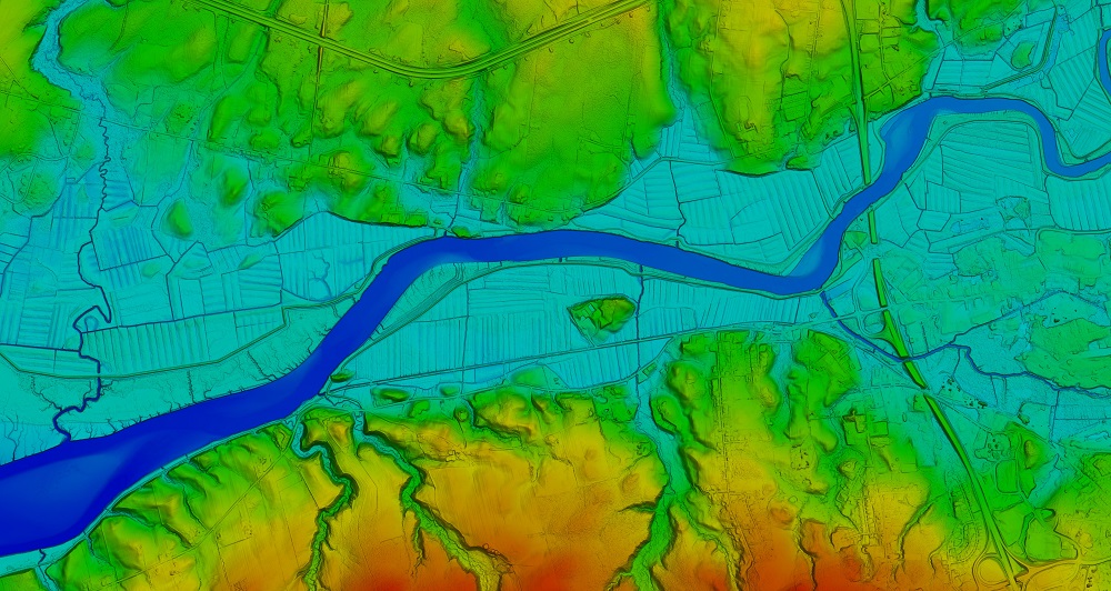
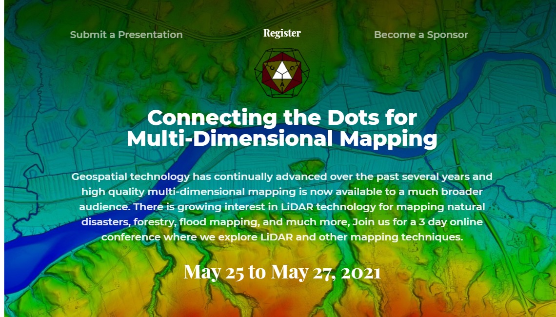
Header Image 1: ‘Color Shaded Relief Elevation Model created from LiDAR data’ [Source: Twitter (@NSGeoNOVA)]
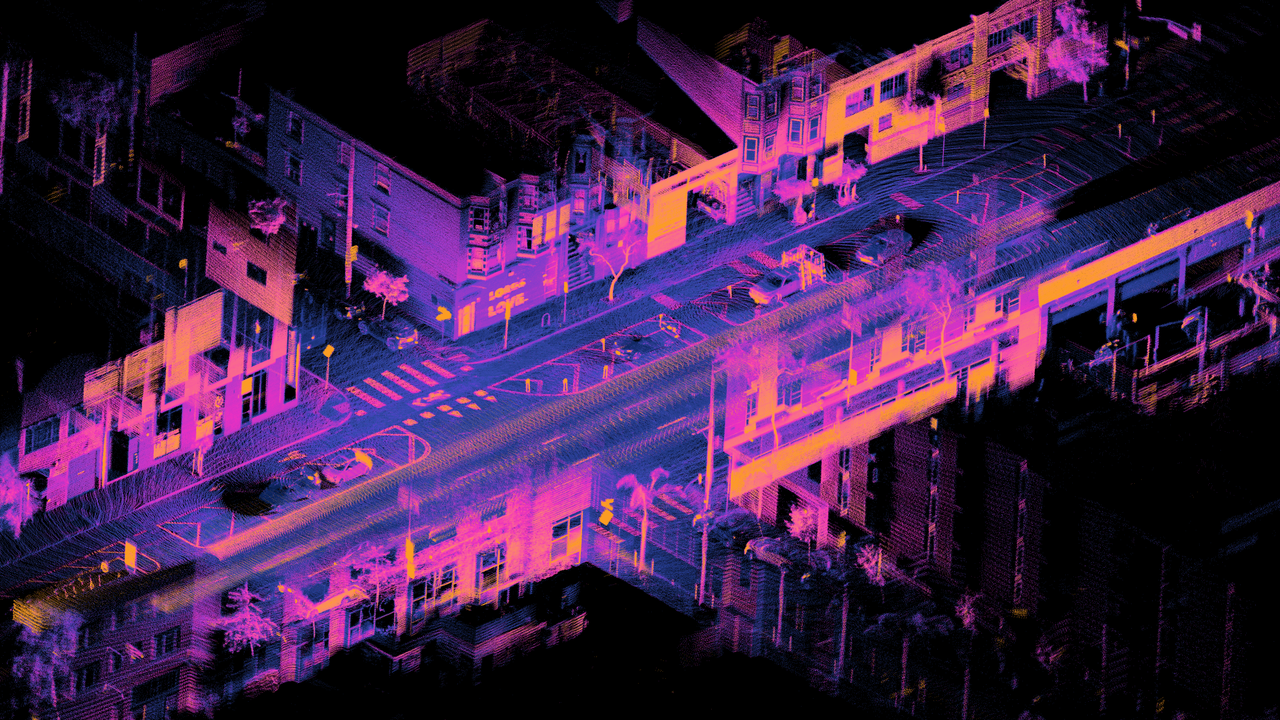
Header Image 2: ‘LiDAR point cloud of Dore St, San Francisco’ [Source: Wikimedia Commons]
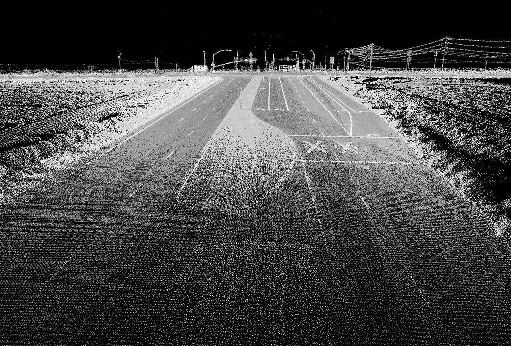
Header Image 3: ‘Highway image using LIDAR [Source: Flickr (Oregon State University)]
