2021 CCA Conference – Connecting the Dots for Multi-Dimensional Mapping
CCA Conference Sponsorship
The Canadian Cartographic Conference draws participants from across Canada and beyond with connections to industry, government and education. By sponsoring the Canadian Cartographic Association’s annual conference you will increase your organization’s exposure to a diverse audience of geospatial professionals while helping us, through financial support and participation, to present a program that reflects the strengths and talent of the Canadian cartographic community.
This year we are offering two levels of sponsorship that both provide access to the Canadian geospatial mapping community through:
- Connections: Have an opportunity to virtually meet close to 500 participants people from Government, Academia and Industry through technical sessions, workshops and other social events.
- Branding: Invest in your brand equity by supporting the geospatial community. Have your brand featured on Conference agenda, in conference emails, on our website, and throughout the event.
- Marketing:
- Showcase your products and solutions through a virtual exhibit page that features your company or organization.
- Encourage one of your organization’s conference delegates to present a in our technical program or workshops on a topic showcasing your organizations interests and strengths.
- Support: Your contribution supports the geospatial community, allowing us to cover conference expenses with lower registration fees and expand attendance at the conference and the audience for your organizations participation.
We appreciate your contribution in helping make this event successful.
CCA Conference Sponsorship Form
Use the registration form above to submit sponsorship information and pay sponsorship fees online (Click the Next button and follow instructions).
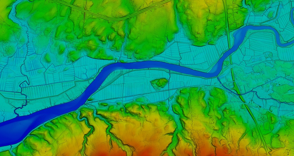
Header Image 1: ‘Color Shaded Relief Elevation Model created from LiDAR data’ [Source: Twitter (@NSGeoNOVA)]
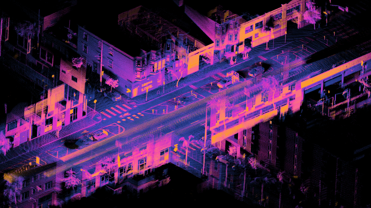
Header Image 2: ‘LiDAR point cloud of Dore St, San Francisco’ [Source: Wikimedia Commons]
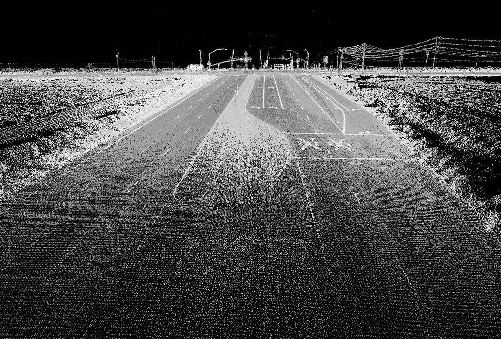
Header Image 3: ‘Highway image using LIDAR [Source: Flickr (Oregon State University)]
