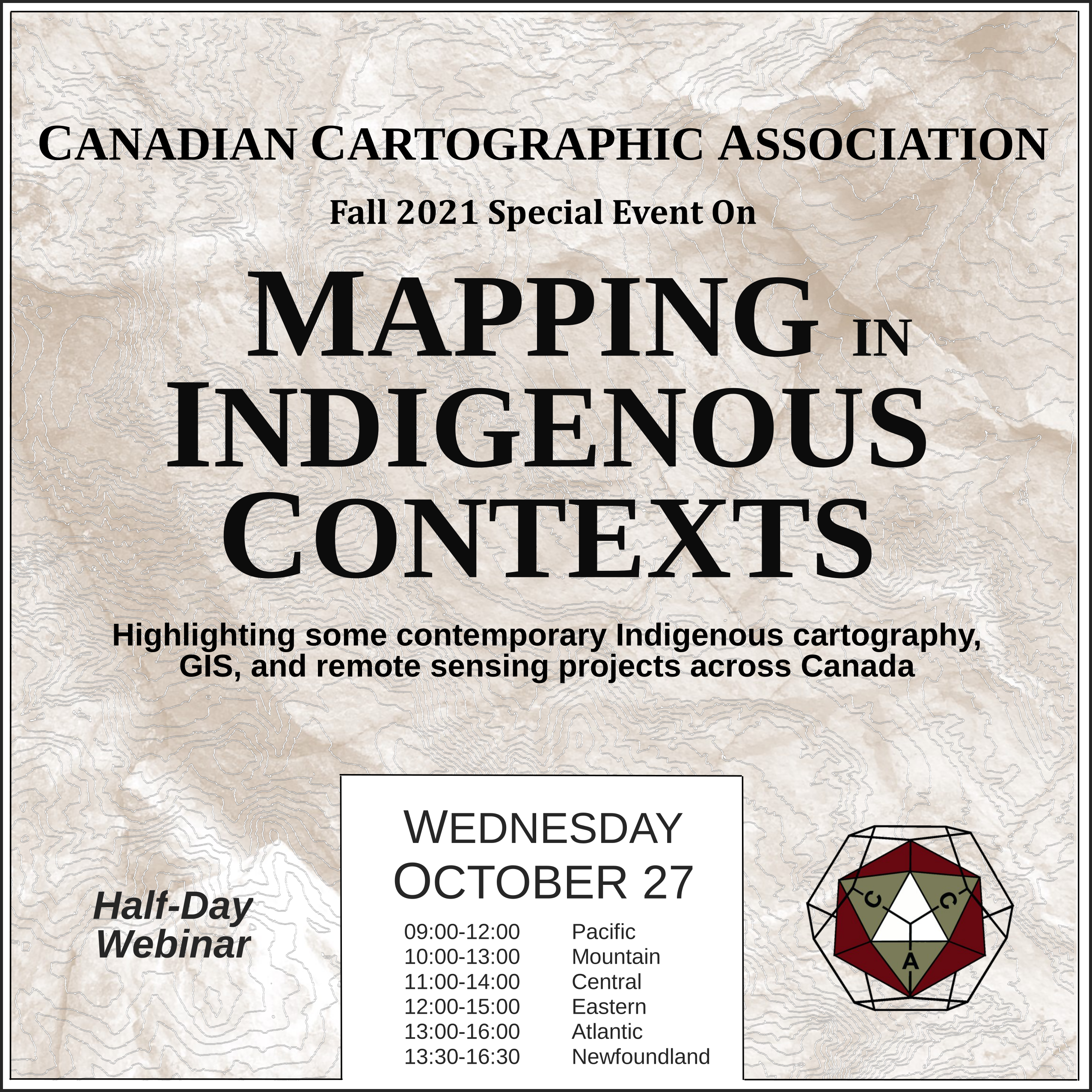
Mapping in Indigenous Contexts Workshop
This video was one of the presentations from the CCA “Mapping in Indigenous Contexts” workshop held October 27, 2021, where various members highlighted some contemporary Indigenous cartography, GIS, and remote sensing projects in Canada.
The Critical Importance of Historical Indigenous Cartography with Contributions to Euro/American/Canadian Cartography by Dan Cole
In the 21st century, many libraries and archives have started digitizing their collections thus making maps by Indigenous peoples more easily available for scholars to study.  While a number of these maps were discussed in the History of Cartography series (volume 2, book 3: 1998), more have since been found and disseminated.
These maps are critical in understanding the historic and current land tenure of Indigenous groups. Moreover, Indigenous land claims can be seen via their connections via toponymy. European/Canadian/American concepts of territory and political boundaries did not match First Nation/American Indian views resulting in the mistaken view that Natives did not have formal concepts of their territories.
This presentation will show how Native residents were very spatially cognizant of their own lands, as well as neighboring nations’ lands, overlaps between groups, populations, hunting territories, and trade networks. Lastly, the Sinixt First Nation will provide a perfect example of how a group of Native Americans are inputting and using a GIS representation of their territory in British Columbia and Washington state with proper toponymy and use areas.
If you run into any issues viewing the video below then let us know, or try watching the presentation on the CCA Youtube channel.
Source of Header Image Above: Indigenous Peoples Atlas of Canada


