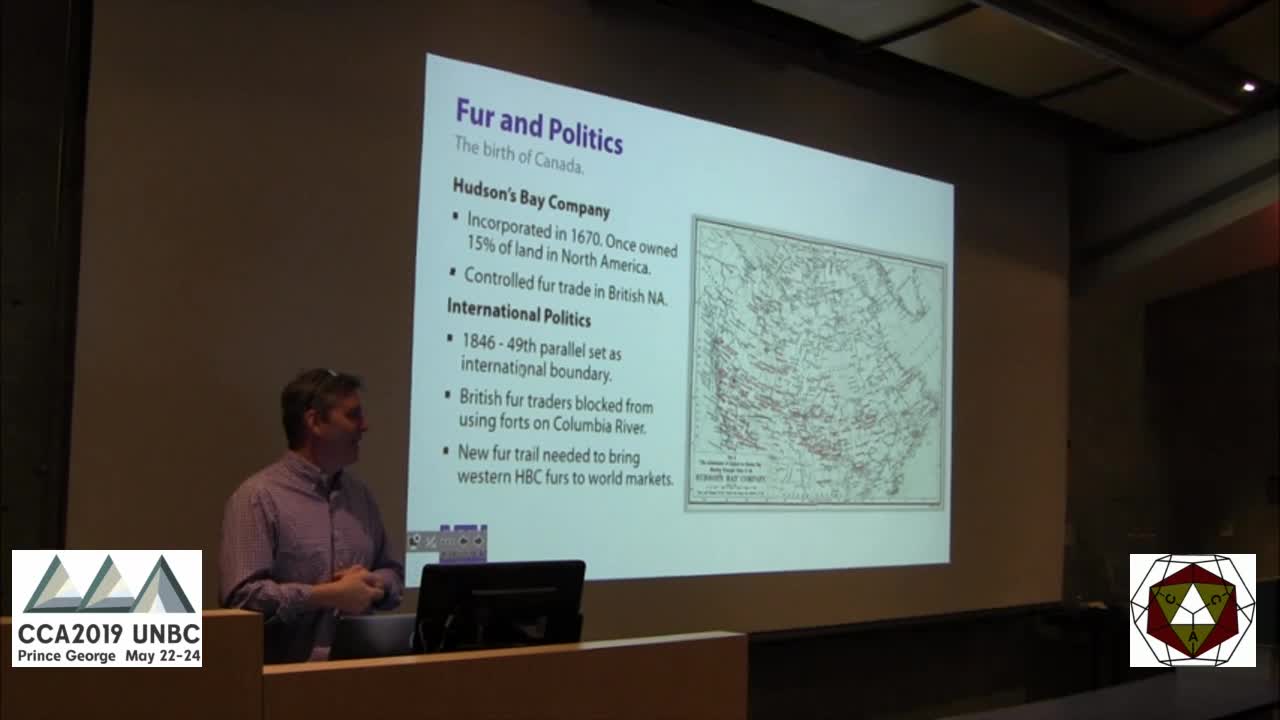
Originally a First Nations route for hunting and trade, the HBC adopted the trade route during the 1850s. The HBC’s fur empire in western North America depended on this trail, securing Canada’s reach to the Pacific.
The map design focused on the historical awareness of the area, the character of the landscape and providing visual clarity. Using public domain data, state-of the-art cartographic techniques, image processing workflows and a dash of black art, a map was published that represents the culmination of effort by all those involved in resurrecting this 170 year-old trail.


