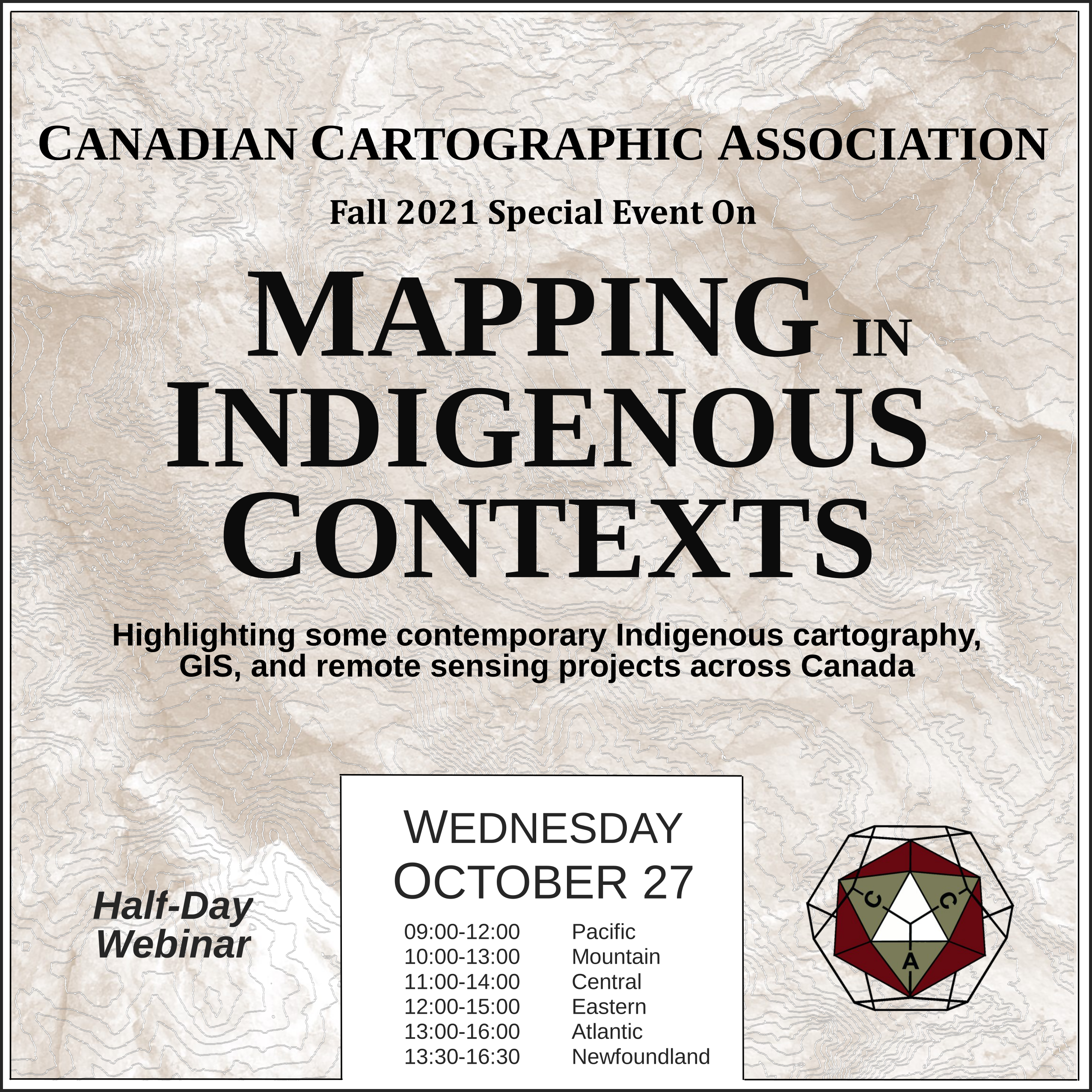
Mapping in Indigenous Contexts Workshop
This video was one of the presentations from the CCA “Mapping in Indigenous Contexts” workshop held October 27, 2021, where various members highlighted some contemporary Indigenous cartography, GIS, and remote sensing projects in Canada.
Indigenous Peoples’ control of their lands – Ted MacKinnon
This presentation will provide a brief overview of how First Nations are making use of geospatial services, tools and data, under jurisdiction per the Canada Lands Surveys Act for land use planning and resource management.
https://www.nrcan.gc.ca/maps-tools-and-publications/maps/22020
If you run into any issues viewing the video below then let us know, or try watching the presentation on the CCA Youtube channel.
Source of Header Image Above: Indigenous Peoples Atlas of Canada


