Canadian

2021 Mapping in Indigenous Contexts Workshop
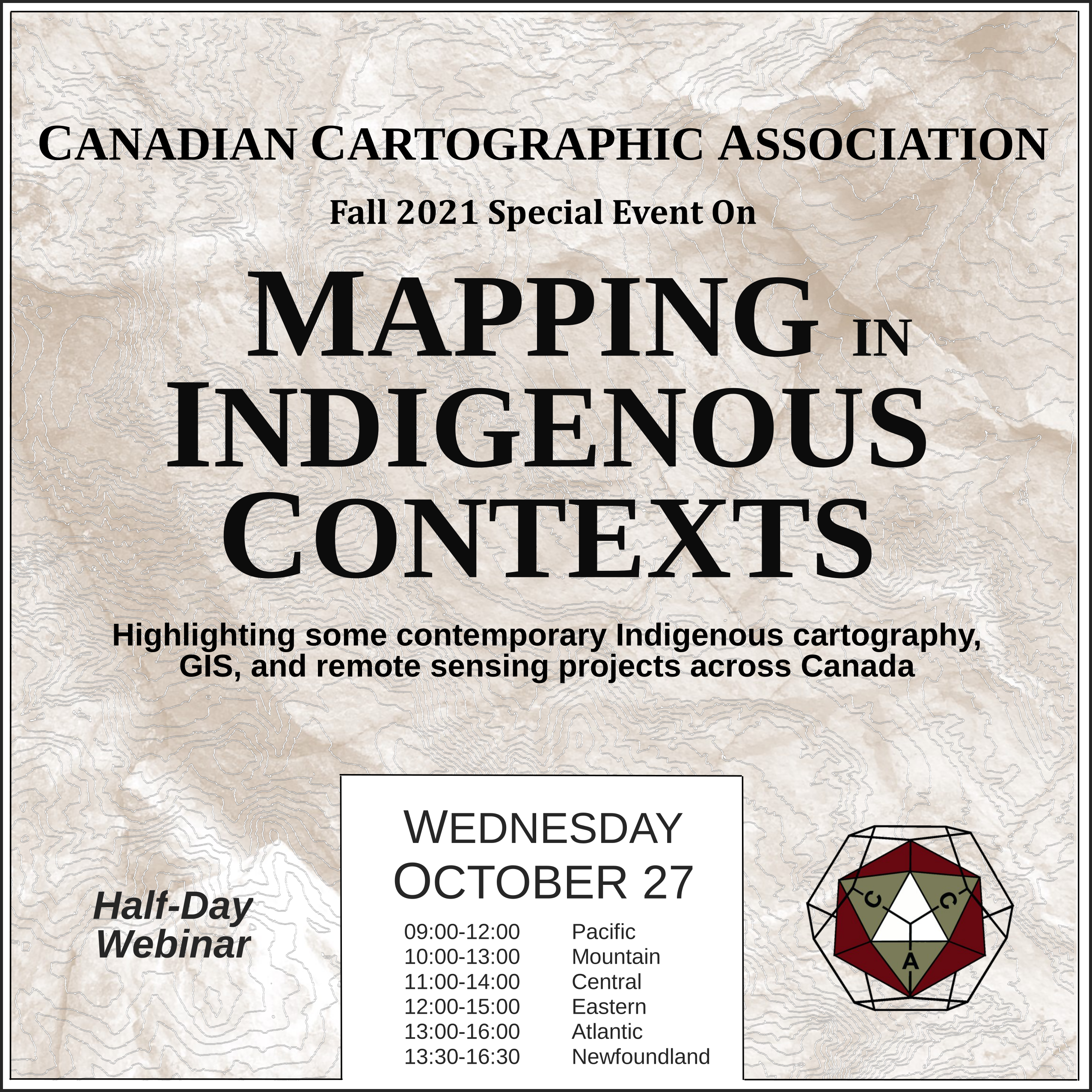
On October 27th the CCA hosted an online event titled “Mapping in Indigenous Contexts” where we highlighted some contemporary Indigenous cartography, GIS, and remote sensing projects in Canada. The presentation recordings have been linked under each presenters abstract.
We hope that this will be the first of many short presentation series where cartographers come together to discuss various mapping related topics.
.
Zoom license used for the event was graciously provided by the Wolastoqey Nation in New Brunswick.
2021 Mapping in Indigenous Contexts Presentations
A Survey and Critique of Historical (and Modern) Ethnographic Maps of North America (with a focus on British Columbia) – Kenneth Favrholdt

Ethnographic maps of North America depicting the distribution of Indigenous peoples with cultural and language affinities represent a colonial construct that combines categorization and surveillance. What different Indigenous groups are there and where are they? This was the question of anthropologists and politicians in the 19th century.
Albert Gallatin in 1836 produced for the America government a “Map of the Indian Tribes of North America about 1600 AD…”. Many similar ethnographic maps appeared in this period including by the British Arrowsmith Company. In the West, Canada’s Geological and Natural History Survey in 1883 produced a “Map shewing the Distribution of Indian Tribes…”.
This was followed by more larger-scale maps on “tribal” groups such as the Shuswap (Secwepemc) by ethnographer James Teit in 1909, based on his extensive research around the turn of the century Teit, working for anthropologist Franz Boas, went on to produce a series of sketch maps of Indigenous groups in the Northwest his maps and others that reveal how boundaries and groupings have changed and are shown on the ethnographic maps over time, as well as their original purpose and significance.
Today such maps continue to be produced.
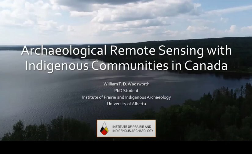
Archaeological Remote Sensing with Indigenous Communities in Canada – William T. D. Wadsworth, MA
Recently, the use of remote sensing technologies (i.e., ground-penetrating radar, magnetometry, LiDAR, and GIS) to locate, manage, and study archaeological sites is becoming more common due to their non-destructive nature and survey speed.  These qualities also make these tools attractive to Indigenous communities who wish to protect their culturally significant places but seek time and cost-effective alternatives to traditional archaeology. Although the collaborative use of these techniques for Indigenous-led projects may seem obvious, few projects have meaningfully included both.
This presentation will briefly introduce an Archaeological Remote Sensing (ARS) approach where these new and emerging technologies are applied in archaeological contexts at the request of Indigenous communities. Following a brief description and history of commonly used geophysical and geospatial techniques, it will be argued that the overall field of remote sensing in archaeology continues to be discovery- and innovation-focused. Subsequently, this has left little room to discuss the ethics of our research and the field’s treatment of Indigenous peoples.
I propose that the inclusion of community-driven practice and Indigenous archaeology into remote sensing stands to change research methods, processes, and outcomes by creating a more reflexive and interpretive space. To demonstrate how community-driven projects can be used in archaeological/remote sensing research, short case studies highlighting surveys from my master’s and burgeoning doctoral research will be presented.
Indigenous Peoples’ control of their lands – Ted MacKinnon
This presentation will provide a brief overview of how First Nations are using geospatial services, tools and data, under jurisdiction per the Canada Lands Surveys Act for land use planning and resource management.
https://www.nrcan.gc.ca/maps-tools-and-publications/maps/22020
The Critical Importance of Historical Indigenous Cartography with Contributions to Euro/American/Canadian Cartography – Dan Cole
In the 21st century, many libraries and archives have started digitizing their collections thus making maps by Indigenous peoples more easily available for scholars to study.  While a number of these maps were discussed in the History of Cartography series (volume 2, book 3: 1998), more have since been found and disseminated.
These maps are critical in understanding the historic and current land tenure of Indigenous groups. Moreover, Indigenous land claims can be seen via their connections via toponymy. European/Canadian/American concepts of territory and political boundaries did not match First Nation/American Indian views resulting in the mistaken view that Natives did not have formal concepts of their territories.
This presentation will show how Native residents were very spatially cognizant of their own lands, as well as neighboring nations’ lands, overlaps between groups, populations, hunting territories, and trade networks. Lastly, the Sinixt First Nation will provide a perfect example of how a group of Native Americans are inputting and using a GIS representation of their territory in British Columbia and Washington state with proper toponymy and use areas.


