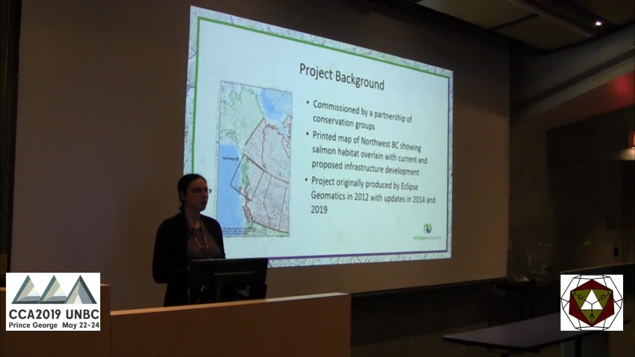
The Northwest Infrastructure Mapping Project was initially completed in 2014 for a partnership of conservation groups based in the Skeena River watershed at a time when multiple proponents were vying to construct pipelines to supply the buzzing liquified natural gas (LNG) export industry on the northwest coast of BC.
Five years later, the map is being updated with current constructed and proposed developments within the energy, mining, forestry, communication, and transportation sectors. The purpose of the project is to overlay current and proposed development with salmon habitat and provide a sense of potential cumulative impacts arising from industrial activities across northwest BC. Spatial information was sourced from DataBC and the map was assembled using QGIS software


