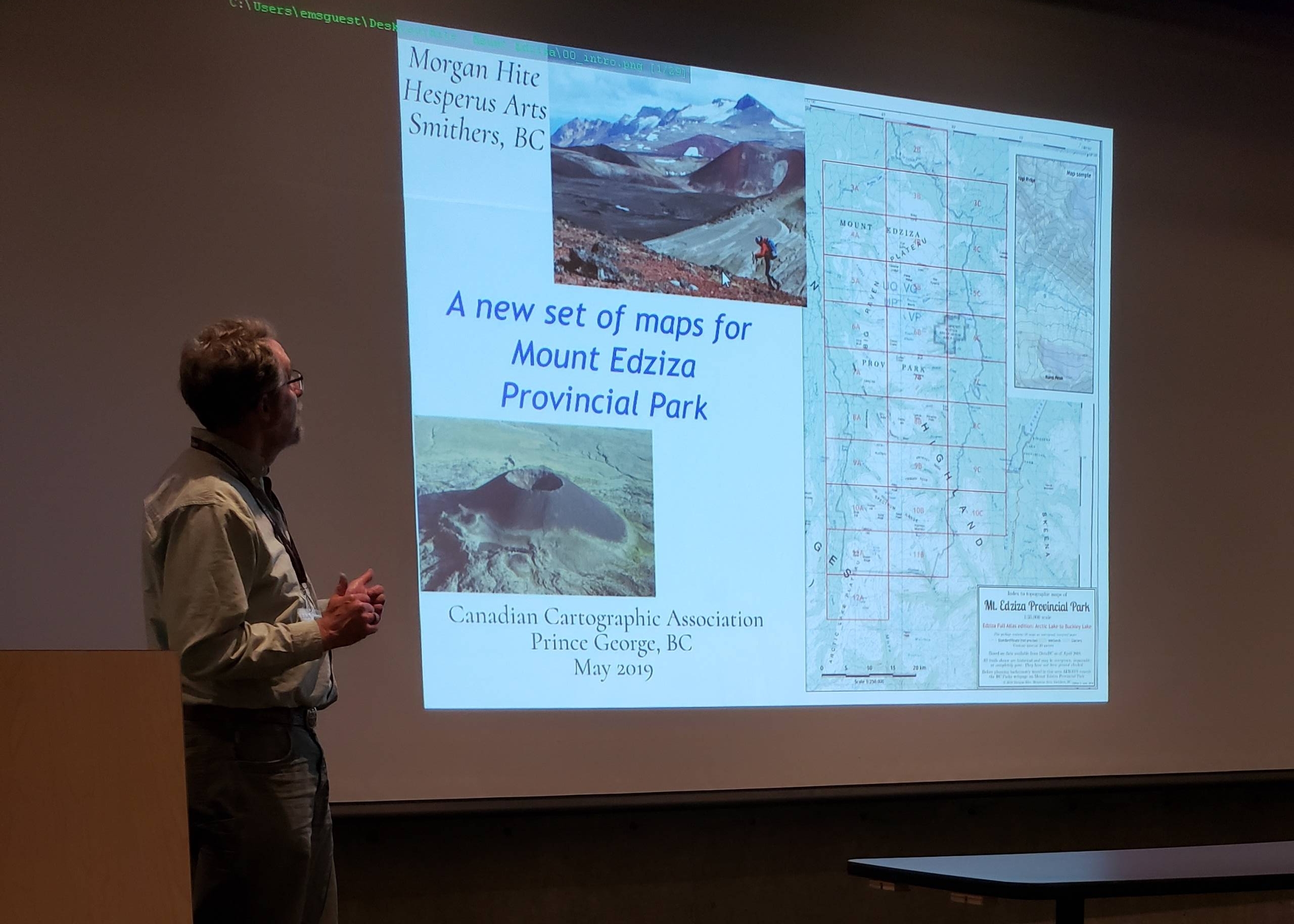
In rural British Columbia, the conventional topographic mapping at 1:50,000 scale, from Natural Resources Canada, is now difficult to obtain and the maps are no longer updated. Yet more recent mapping either does not exist, or involves large formats which are expensive to print.
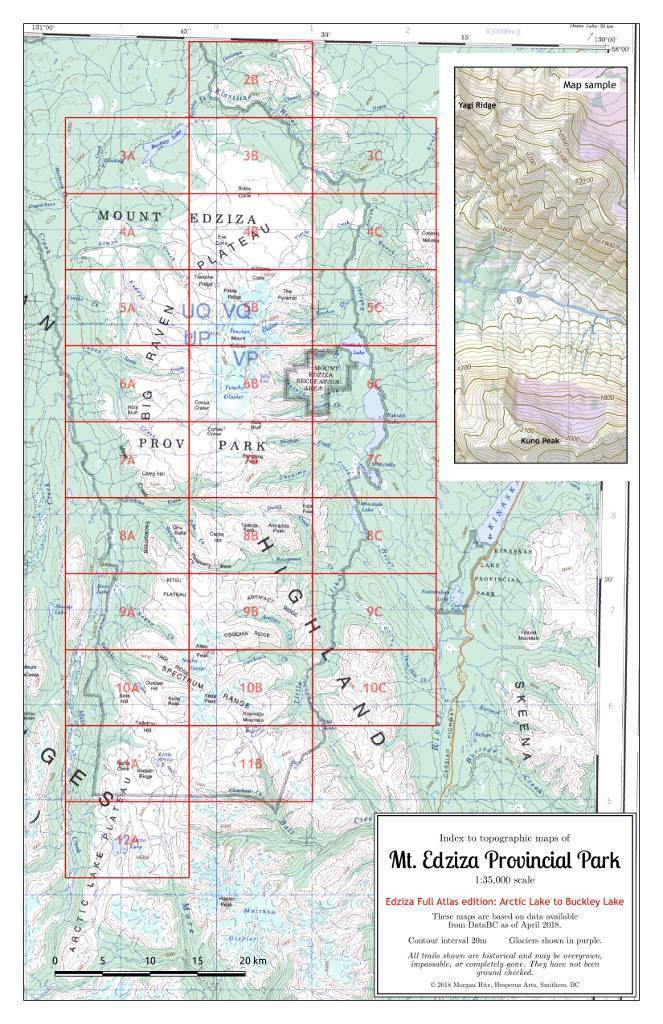
A new approach, utilizing 11 x 17” paper permits hikers to inexpensively print the topographic coverage they want at a scale better than 1:50,000. Morgan describes a pilot project which he mapped Mt. Edziza Provincial Park into twenty-eight map sheets at 1:35,000 scale. Mount Edziza Provincial Park is in a remote area of northern BC. a park with no roads and no maintained trails leading into it. The main feature of the park is a stratovolcano, Mount Edziza, which has been quiet for the last thousand years or so. It has a two-kilometre-wide, ice-filled caldera.
Morgan also talks about data sources, software, printing issues, some alternatives for the future, and the portability of this approach to other essentially trail-less crown lands in BC.


