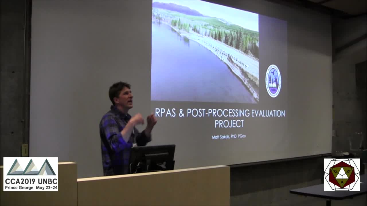
Remotely Piloted Aircraft Systems technology and photogrammetry software can be used in concert to create orthophotographs and digital elevation models that can be used to map features of value. Even consumer-grade RPAS can be used in this manner but with some cost of accuracy.
The objective of this research was to compare the accuracy of various RPAS (consumer through commercial grade) and post-processing photogrammetry software in a mixed open and dense forest area. On a single day, 14 flights with seven different aerial systems were conducted over a test site with 28 marked and RTKGNSS surveyed positions (position error = 0.01 m); ten flights were conducted with the same predetermined flight route.
Data from each flight was processed with both with and without ground control by 7 different photogrammetry applications or online services. Products derived from ground-controlled solutions are compared with respect to absolute positional error; products derived from non-ground-controlled solutions are compared for relative positional error. Including an analysis of nonground-controlled solutions provides information on the accuracy of methods that are commonly used in rapid, reconnaissance-level mapping typical of natural resource management operations.
Final results will provide an indication of the level of accuracy to be expected from various popular drone platforms and photogrammetry applications in forested environments. Ultimately, this will lead to decision support where the desired level of accuracy can determine the required RPAS and post-processing application combination.


