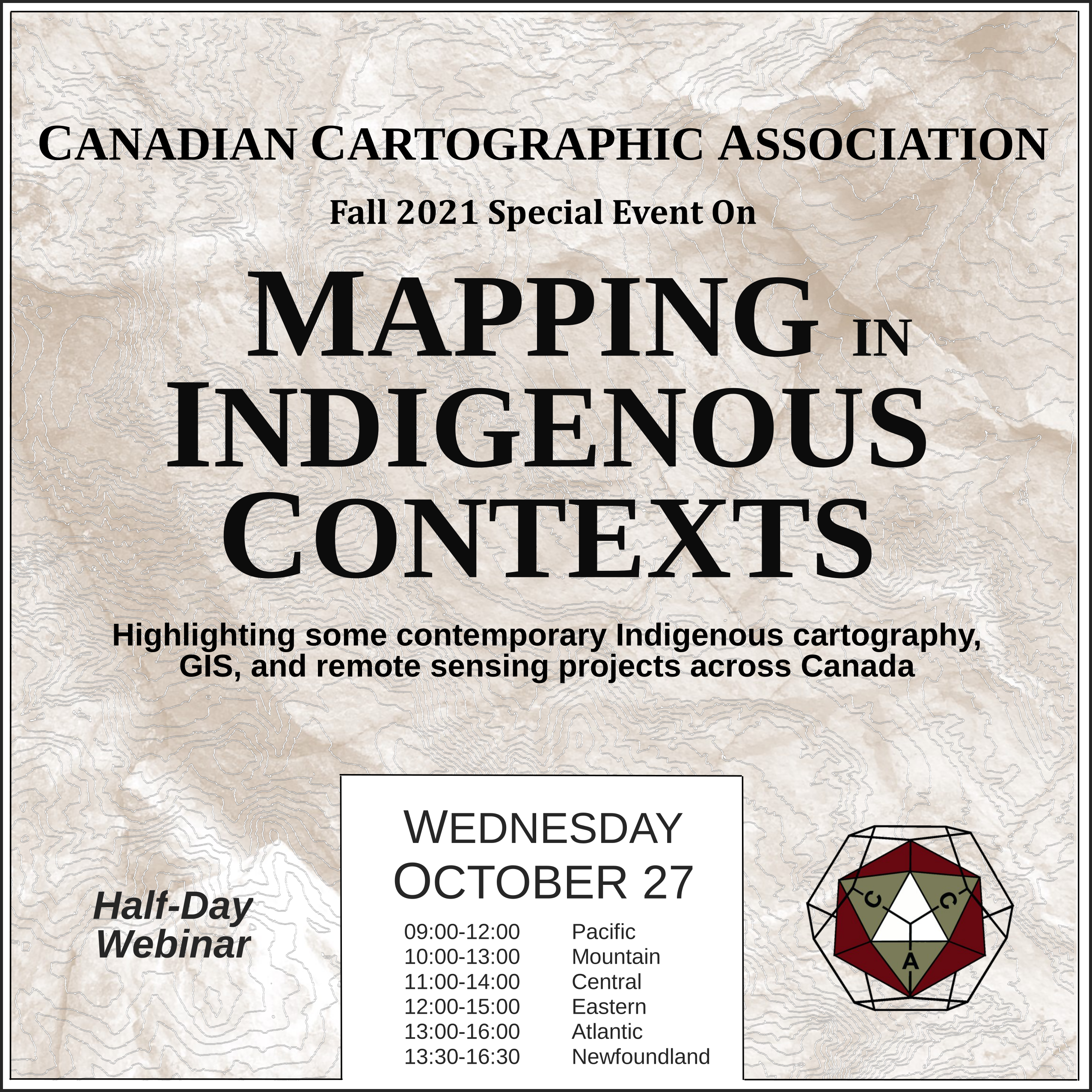
Mapping in Indigenous Contexts Workshop
This video was one of the presentations from the CCA “Mapping in Indigenous Contexts” workshop held October 27, 2021, where various members highlighted some contemporary Indigenous cartography, GIS, and remote sensing projects in Canada.
A Survey and Critique of Historical (and Modern) Ethnographic Maps of North America (with a focus on British Columbia) – Kenneth Favrholdt
Ethnographic maps of North America depicting the distribution of Indigenous peoples with cultural and language affinities represent a colonial construct that combines categorization and surveillance. What different Indigenous groups are there and where are they? This was the question of anthropologists and politicians in the 19th century.
Albert Gallatin in 1836 produced for the America government a “Map of the Indian Tribes of North America about 1600 AD…”. Many similar ethnographic maps appeared in this period including by the British Arrowsmith Company. In the West, Canada’s Geological and Natural History Survey in 1883 produced a “Map showing the Distribution of Indian Tribes…”.
This was followed by more larger-scale maps on “tribal” groups such as the Shuswap (Secwepemc) by ethnographer James Teit in 1909, based on his extensive research around the turn of the century Teit, working for anthropologist Franz Boas, went on to produce a series of sketch maps of Indigenous groups in the Northwest his maps and others that reveal how boundaries and groupings have changed and are shown on the ethnographic maps over time, as well as their original purpose and significance.
Today such maps continue to be produced.
If you run into any issues viewing the video below then let us know, or try watching the presentation on the CCA Youtube channel.
Source of Header Image Above: Indigenous Peoples Atlas of Canada


