Conserving biodiversity is principally achieved through the designation of protected areas, guided by the process of systematic conservation planning. The aim of conservation planning is to identify networks of protected areas that represent regional biodiversity.
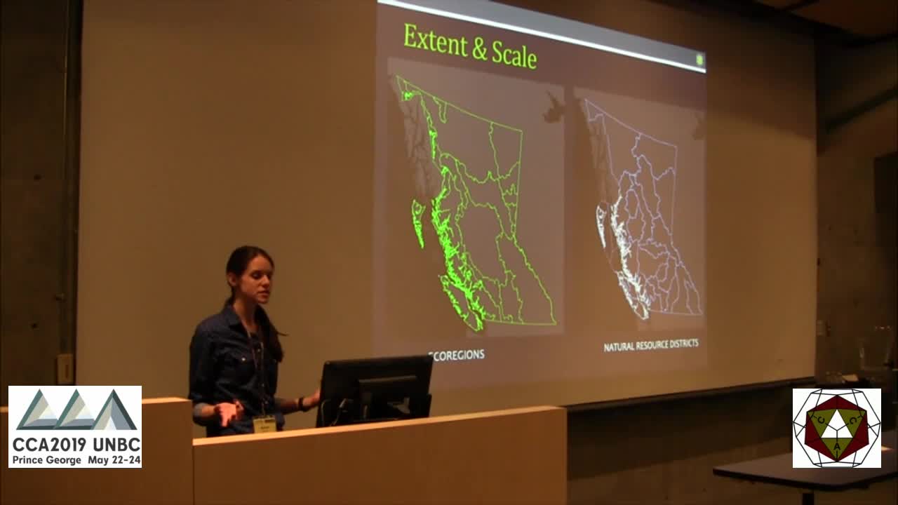
The process involves using spatial data to identify conservation priorities and inform landscape-scale decisions. These analyses, however, are typically conducted at inconsistent scales and are frequently misaligned with the jurisdictional scope and scale of management decisions, as ecologically-relevant boundaries do not necessarily match opportunities for management actions.
The inconsistencies in the planning extent could reduce the effectiveness and efficiency of conservation planning. In this study we will use SCP to evaluate how protected area selection varies when working at three nested scales. By contrasting the planning extents and scales, we will ascertain whether they influence conservation planning effectiveness, and quantify the efficiencies resulting from repeated regional analysis. We expect to find that scale dependence is demonstrable in conservation planning, and that the inclusion of spillover data outside a given jurisdiction better informs conservation priorities of the target landscape.
Further, the study results are intended to demonstrate how broader-scale analyses enable planners to see how neighboring factors affect biodiversity priority areas, and provide a framework for keeping landscape-scale planning embedded within the regional-scale analyses.


