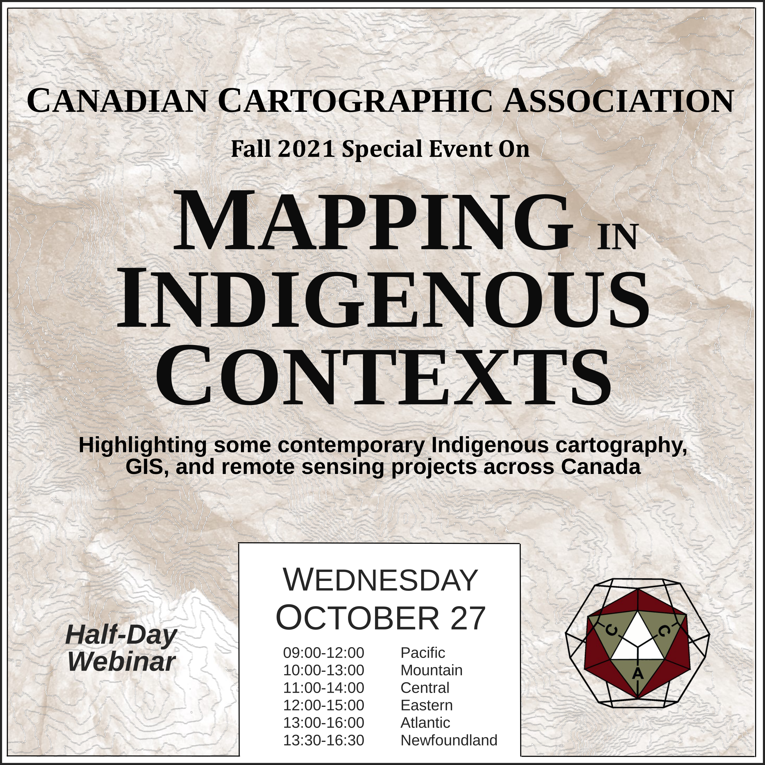
Mapping in Indigenous Contexts Workshop
This video was one of the presentations from the CCA “Mapping in Indigenous Contexts” workshop held October 27, 2021, where various members highlighted some contemporary Indigenous cartography, GIS, and remote sensing projects in Canada.
Using Shell Middens to Explore Indigenous Population Change – Robert Gustas
(Abstract not available)
If you run into any issues viewing the video below then let us know, or try watching the presentation on the CCA Youtube channel.
Source of Header Image Above: Indigenous Peoples Atlas of Canada


