CCA2024 – CCA’s Annual Conference and General Meeting

CCA’s Annual Conference and AGM will be held May 23-24 at the University of Toronto Scarborough with a Zoom streaming option available.

CCA’s Annual Conference and AGM will be held May 23-24 at the University of Toronto Scarborough with a Zoom streaming option available.

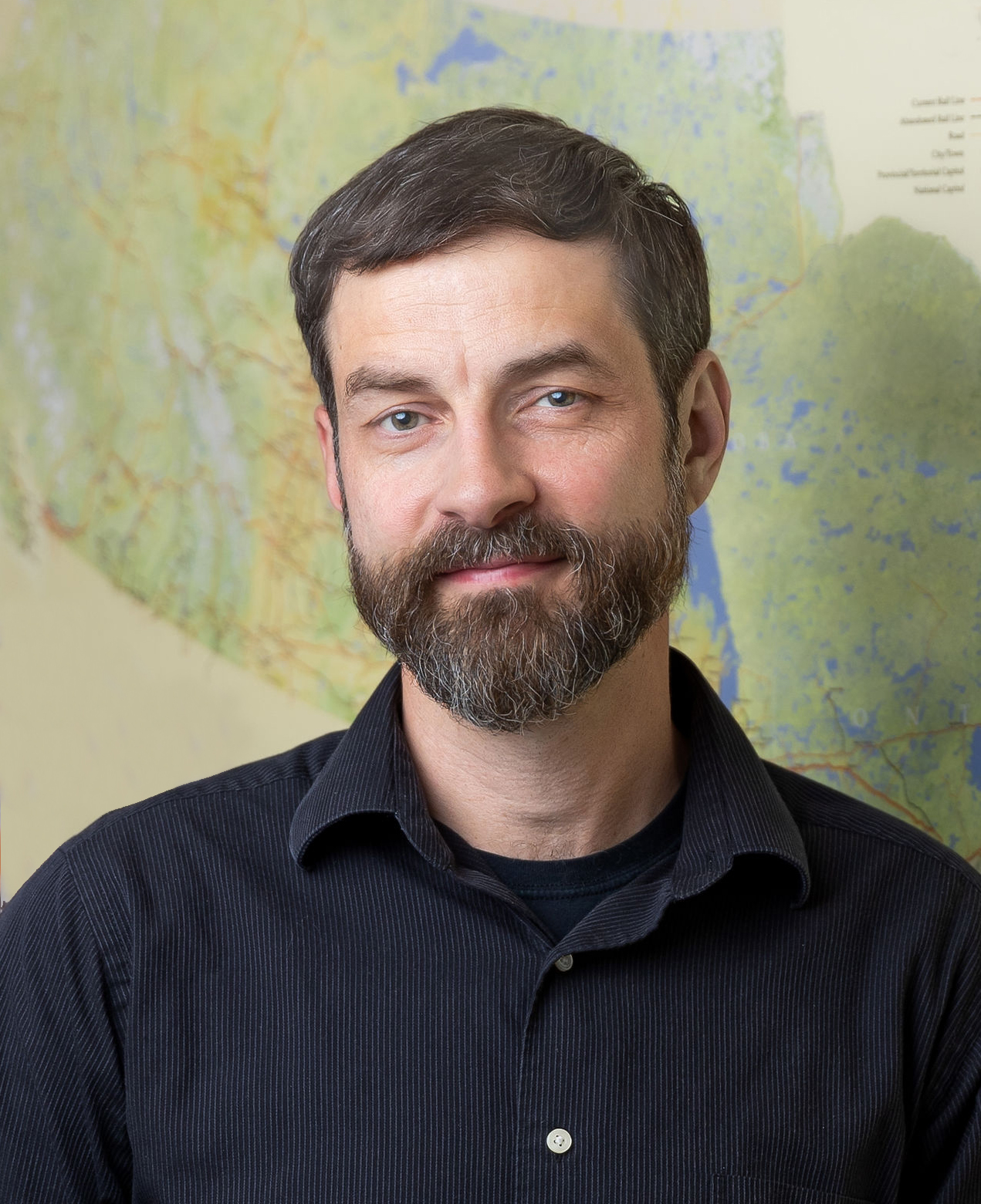
Chris Brackley is a freelance cartographer and co-owner of As the Crow Flies cARTography, which he established with his wife Angi Goodkey in 2004.

Since its founding, As the Crow Flies has used the story-telling power of maps to fulfill its mission of reconnecting people with place, engaging in a wide range of projects for a wide range of clients. Through twenty-five years of making maps, Chris’ belief in their power to tell stories has only grown.
Chris’ favourite part of cartographic design is spotting the story once the spatial layers start to dance with each other on the digital page and slowly massaging these layers together until the story pops off the page.
Though I’m sure that there are very few design tricks that haven’t been employed by cartographers over the years, in this talk I’m going to discuss some mapping projects where I’ve had to find novel solutions (new to me anyway). Having been presented with some challenging mapping projects that don’t always have clear pathways from data to final map, I’ve worked to broaden my visualization tool kit to find new ways to tell spatial stories.
In this talk I’m going to focus on three maps. The first is a map of the most recent glaciation of North America, where I worked to find a new way of showing temporal iterations in a single frame. The second is the most recent Giant Floor Map created for Canadian Geographic called Biinaagami, which strives to highlight an Indigenous view of the Great Lakes/St. Lawrence Watershed within the more Western construct of watersheds, and water flows. The final map is perhaps my most ambitious to date, and shows the world’s oceans through a multi-data lens employing some novel visualization techniques.


Tom Patterson grew up in the Adirondack Mountains of northern New York and graduated with a B.A. in geography from SUNY Oneonta. Seeking warmer climes, he received an M.A. in geography from the University of Hawaii at Manoa.
Tom started his career teaching classes and serving as Cartography Laboratory Manager at the University of Utah. Most of his career was spent as a cartographer for the U.S. National Park Service, Harpers Ferry Center, retiring from there in 2018. Tom is a former president and executive director of the North American Cartographic Information Society (NACIS). He is active in the ICA Commission on Mountain Cartography. Tom lives outside of Washington, D.C. in northern Virginia.
As a cartographer and admirer of Alaskan landscapes, Tom has always been fascinated by the intermingled islands, fjords, glaciers, and mountains of Prince William Sound, Alaska. But the only available maps of Prince William Sound were the standard products published by government agencies, which inadequately depicted the world-class natural setting. To remedy this situation, He set out in 2019 to make a 1:250,00-scale wall map of Prince William Sound and surroundings to showcase the physical environment.
An abundance of public-domain cartographic data of the area to be mapped encouraged me to take on the project. However, because of climate change and glacier retreat, every available dataset no matter how recently published, required massive updating and reconciling in order to make a cohesive map. For example, He remapped glaciers, drainages, and coastlines from Landsat and Sentinel satellite images, an effort that took several hundred hours. Nevertheless, another update was needed in 2023 to keep up with the rapidly changing landscape—Columbia Glacier had retreated another three kilometers since 2019. The most recent version of the map is but a snapshot in time.
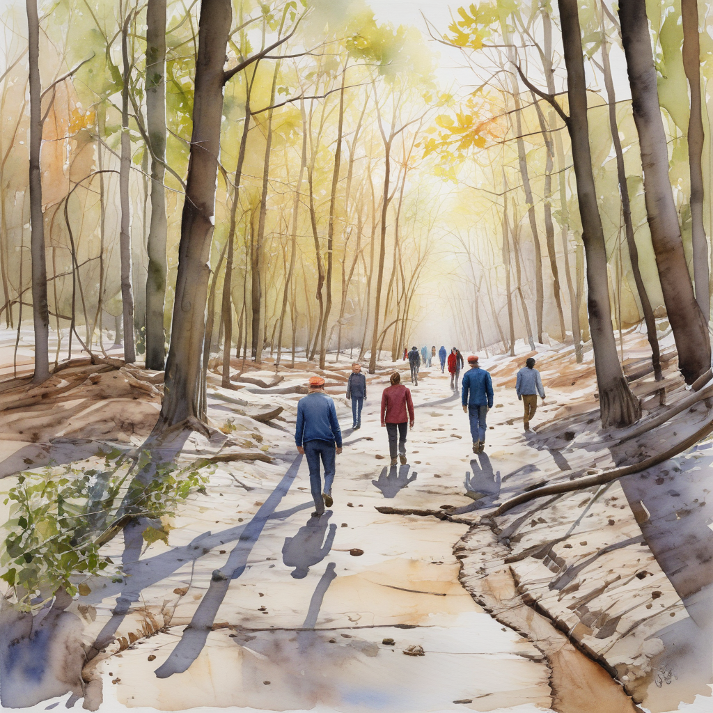
Morningside Park, just west of the UT Scarborough campus, is one of Toronto’s sprawling ravine parks, which relieve our otherwise unrelenting grid pattern of streets. It follows the valley of Highland Creek, which provides the bucolic setting which gives UTSC its ambience of “Nature in the city”. Join Helen Mills, the founder of Lost River Walks of Toronto, in exploring the park and how the creek has changed over the years of Scarborough’s rural-urban transformation.
Meeting time(s) and Location(s) – Wednesday, May 22
There will be cars going from UTSC to Morningside Park for the tour. Meet at UTSC Parking Lot A for a ride at 2:30 PM or meet at the second / middle parking lot in Morningside Park at 3:00 PM.

CCA 2024 Program
Final program – updated May 25, 2024
