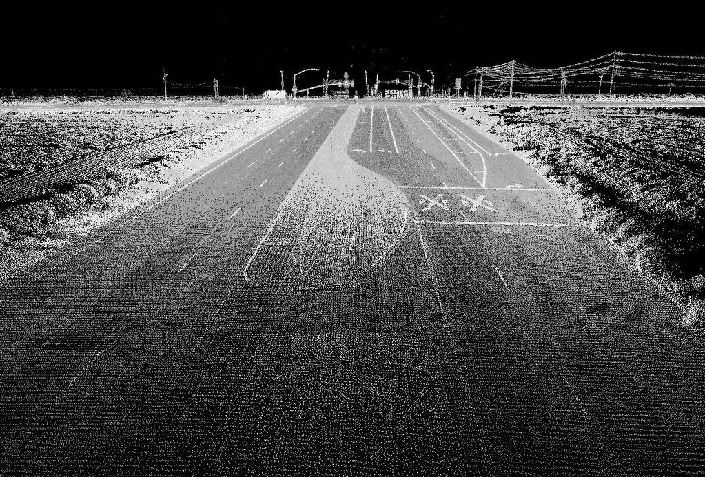
This video was one of the Keynote presentations from the Connecting the Dots for Multi-Dimensional Mapping Conference (2021 CCA Annual Conference) held May 25th, 26th, & 27th, 2021, where various members provided presentations on LiDAR technology, web mapping, flood mapping, forestry mapping, or Indigenous mapping, and other cartography, GIS, and remote sensing projects in Canada.
Empowering the Workforce of the Future with IoT and AI – Steve Liang
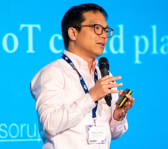
Steve Liang is a researcher, teacher and entrepreneur. Steve is the founder and CTO of SensorUp, offering a NATO-award winning Geospatial IoT cloud platform that interconnects the world’s IoT data empowering the connected workers of the future to apply intelligent automation for productivity, safety, quality, and job satisfaction.
Dr. Liang is a global influencer on the Internet of Things, and he is the working group chair of several international standard working groups of the Open Geospatial Consortium and UN’s ITU-T. Additionally, he is a professor and research chair at the University of Calgary, director of the GeoSensorWeb Laboratory, and a lab scientist of the Creative Destruction Lab.
Steve was recently named the Rogers IoT Research Chair, a five-year research chair position sponsored by Rogers Communications. A recipient of numerous awards, Dr. Liang has received Calgary’s Top 40 Under 40, Killam Emerging Research Leader Award, and more.
Steve discusses his vision for using Internet of Things (IoT = sensor network) data, including geospatial data, and intelligent automation (affordable, accurate enough predictions) to help workers focus on tasks requiring higher-level judgement to improve safety, productivity and decision making.
He presented a general process flow model that derives predictions from sensors and previous learning, communicates predictions and outcomes using maps, and recommends tasks for worker decision making. He presented applications of this process template including solutions for retail sales, process management, and health and safety monitoring automation.

