2019 CCA Conference Presentations

2019 CCA Conference Presentations

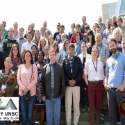
Last May at the University of Northern British Columbia close to 100 members of the CCA and Northern BC GIS users group came together for the 2019 CCA Conference. The organizing committee put together an excellent conference highlighting the work of cartographers and GIS professionals.

Attendees learned about different projects involving drone and LiDAR mapping, Indigenous Peoples, Canadian free geospatial data resources, creative mapping processes, intricate wood carved globes and much more. Overall there were 32 presentations, which have been made available to watch online with presentation abstracts here on the CCA website.

Conference Keynote Presentation - Chris Brackley, AsTheCrowFlies Cartography

2019 CCA Conference Keynote Presentation

2019 CCA Conference Keynote Presentation Video – Watch Chris Brackley from AsTheCrowFlies Cartography talk about the Giant Floor Map that he created for the Royal Canadian Geographic Society’s Indigenous Peoples Atlas of Canada

2017 CCA Conference 1

2017 CCA Conference

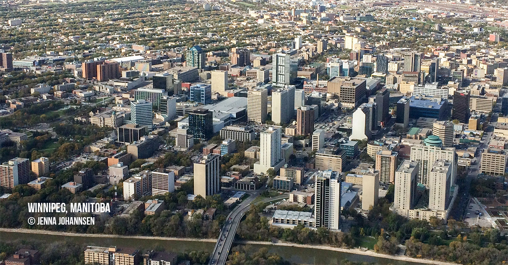
aerial photograph of Winnipeg, Manitoba

2016 Call for Papers

1978 CCA AGM Program

CCA 1978 AGM Program

Here is a scanned copy of the Program Agenda from the Third CCA Annual Meeting held June 8 – 10th, 1978 at the University of British Columbia in Vancouver.

1977 CCA AGM program

CCA 1977 AGM Program

Here is a scanned copy of the Program Agenda from the Second CCA Annual Meeting held May 16, 1977 at the University of Ottawa.

CCA 1976 AGM Program

CCA 1976 AGM Program

Here is scanned copy of the Program Agenda from the First Annual Meeting held May 17 – 18, 1976 at Queens University in Kingston.