The Canadian Cartographic Association (CCA)
The CCA is a non-profit association created to promote the disciplines and professions of cartography and Geographic Information Science in Canada. Our broad membership represents academia, all levels of Government and private industry, and includes fellow cartographers from coast to coast, and Internationally.
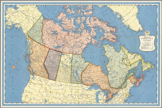
The CCA plays a leading role in the world of cartography through involvement with the International Cartographic Association (ICA). The Canadian National Committee (CNC) , chaired by a CCA nominee, is responsible for coordinating Canadian participation in the ICA, and has such specific responsibilities as appointing representatives to commissions and committees, preparing a biannual cartography exhibit, publishing a biannual national report on Canadian cartography, and facilitating the submission of technical papers for presentations at ICA events.
We host annual meetings, provide networking opportunities, create a variety of publications to promote geography awareness and map making, and help improve the use of cartographic materials through education.
If you are a cartographer, or are passionate about mapping, geography, and data visualization then we encourage you to join the Canadian Cartographic Association (CCA).
The CCA is pleased to announce its 2026 Conference, to be held at the Centre for Geographic Sciences in Lawrencetown, Nova Scotia. Under the theme Coast to Coast to Coast, the conference will bring together cartographers, geospatial professionals, researchers, and students from across Canada and beyond to share ideas, research, and practice.
We warmly encourage members and map lovers to submit papers and presentations related to the conference theme or broader cartographic and geospatial topics.
Submission link: https://cca-acc.org/conferences/2026-cca-conference/2026-call-for-papers
Registration and more details will follow soon, and be available on the CCA Current Conference page
CCA Members Section
On Fire: A Glimpse into BC Wildfire Service Incident Mapping
With BC Wildfire Service (BCWS), on-site geomatics support presents a challenging and rewarding experience for deployed Geomatics staff. As a technical specialist in the Plans section of the ICS system, GIS specialists typically work alone, providing support for all geomatics needs.

